
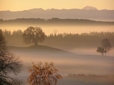
Westlicher Teil des Landkreises Starnberg, protected landscape in Bavaria, Germany
Location: Starnberg
Inception: 2001
GPS coordinates: 47.96965,11.22883
Latest update: April 4, 2025 12:38
Justiz-Vollzugsanstalt
794 m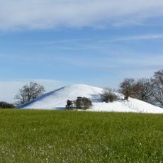
Bäckerbichl
2 km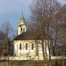
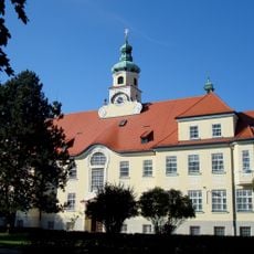
Friedenskapelle (Andechs-Erling)
2.3 km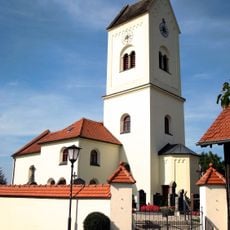
St. Johann Baptist
2.4 km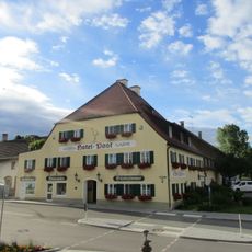
Gasthof Post
3.3 km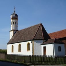
St. Nikolaus (Wieling)
3.2 km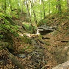
Ochsengraben
2.9 km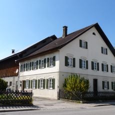
Andechser Straße 11
3.3 km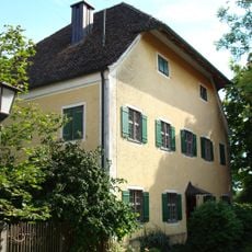
Pfarrhaus
2.5 km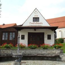
Ehemalige Dorfschmiede
3.3 km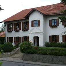
Rathaus
3.2 km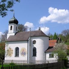
St. Jakobus (Landstetten)
2.3 km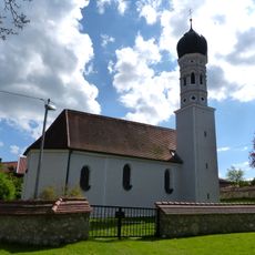
Unsere Liebe Frau
2.5 km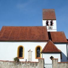
St. Sebastian
2.1 km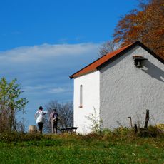
Wallfahrtskapelle St. Stephan
2.6 km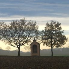
Kreuzweg
2.4 km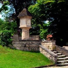
Kriegerdenkmal
3.3 km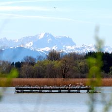
Ammerseegebiet
1.9 km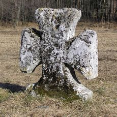
Sühnekreuz
2.6 km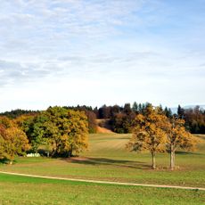
Moräne zwischen Frieding und Andechs
3 km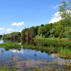
Moränenlandschaft zwischen Ammersee und Starnberger See
2.6 km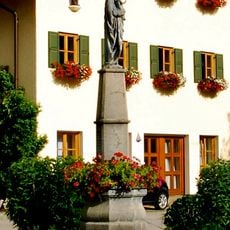
Mariensäule
3.3 km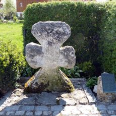
Sühnekreuz
3.2 km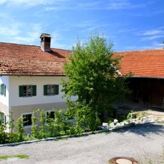
Wohnstallhaus
2.4 km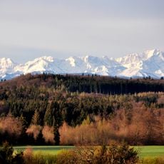
Seebuchet
1.5 km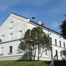
Ehemaliges Schul- und Gemeindehaus
2.6 km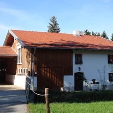
Kleinbauernhaus
2 km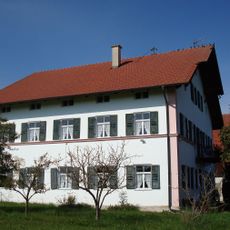
Bauernhaus
3.3 kmVisited this place? Tap the stars to rate it and share your experience / photos with the community! Try now! You can cancel it anytime.
Discover hidden gems everywhere you go!
From secret cafés to breathtaking viewpoints, skip the crowded tourist spots and find places that match your style. Our app makes it easy with voice search, smart filtering, route optimization, and insider tips from travelers worldwide. Download now for the complete mobile experience.

A unique approach to discovering new places❞
— Le Figaro
All the places worth exploring❞
— France Info
A tailor-made excursion in just a few clicks❞
— 20 Minutes