
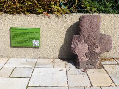
Steinkreuz, هيكل معماري في دراي آيش، ألمانيا
Location: Dreieich
Address: Hainer Weg
GPS coordinates: 49.99918,8.72932
Latest update: March 11, 2025 14:39
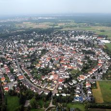
Götzenhain
621 m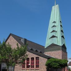
St. Marien
239 m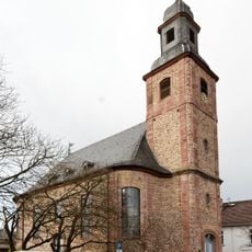
Evangelische Kirche Götzenhain
595 m
Untertor
902 m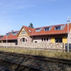
Bahnhof Götzenhain
525 m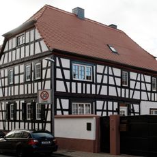
Haus Wallstraße 3
414 m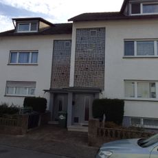
Haus Höllgartenstraße 13
667 m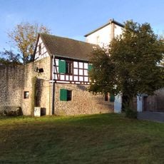
Haus Fahrgasse 65
898 m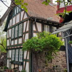
Haus Erbsengasse 21
931 m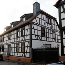
Haus Wallstraße 5
434 m
Haus Am Hainer Berg 11
319 m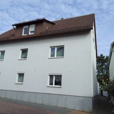
Haus Rheinstraße 52
726 m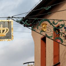
Sachteile Aushängeschild und Torpfosten
423 m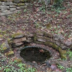
Lindborn-Brunnen
493 m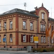
Rathaus, ehem. Schule
307 m
Haus Rheinstraße 52A
726 m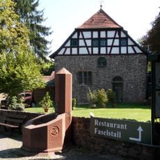
Gasthaus 'Faselstall'
891 m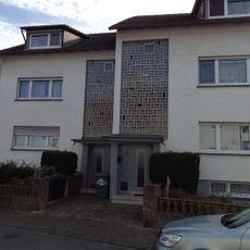
Haus Höllgartenstraße 11
658 m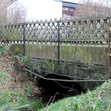
Hengstbachbrücke
838 m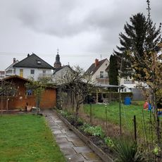
Dorfgärten
593 m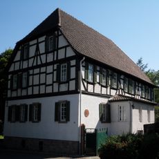
Ehem. Amtskellerei/Forsthaus
932 m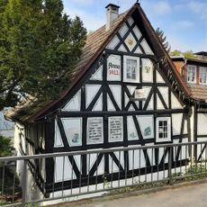
Alte Bergmühle
585 m
Haus Höllgartenstraße 12A
636 m
Haus Rheinstraße 49A
704 m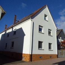
Haus Rheinstraße 47
711 m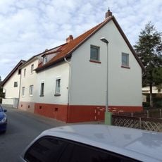
Haus Höllgartenstraße 14
655 m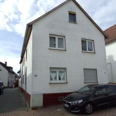
Haus Rheinstraße 49
722 m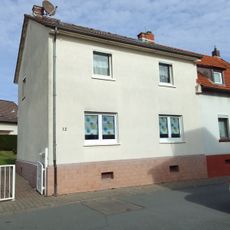
Haus Höllgartenstraße 12
648 mReviews
Visited this place? Tap the stars to rate it and share your experience / photos with the community! Try now! You can cancel it anytime.
Discover hidden gems everywhere you go!
From secret cafés to breathtaking viewpoints, skip the crowded tourist spots and find places that match your style. Our app makes it easy with voice search, smart filtering, route optimization, and insider tips from travelers worldwide. Download now for the complete mobile experience.

A unique approach to discovering new places❞
— Le Figaro
All the places worth exploring❞
— France Info
A tailor-made excursion in just a few clicks❞
— 20 Minutes