
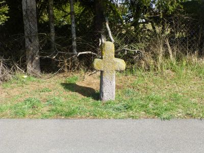
Steinkreuz, هيكل معماري في دراي آيش، ألمانيا
Location: Dreieich
Address: An der Tränk B 486
GPS coordinates: 49.98295,8.73371
Latest update: March 4, 2025 13:12
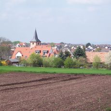
Offenthal
806 m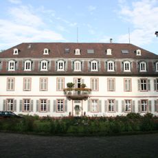
Schloss Philippseich
720 m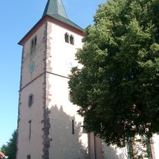
Protestant Church
931 m
Haus Mainzer Straße 2
909 m
Haus Am Alten Rathaus 23
938 m
Haus Dieburger Straße 10
967 m
Haus Mainzer Straße 14
838 m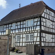
Haus Mainzer Straße 22
808 m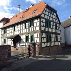
Haus Am Alten Rathaus 15
891 m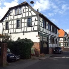
Former Town Hall and School
903 m
Sachteil Torpfosten
923 m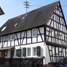
Haus Am Alten Rathaus 27/29
952 m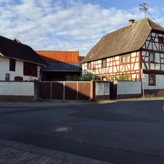
Haus Bahnhofstraße 14
853 m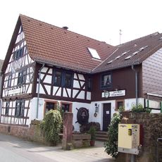
Haus Am Alten Rathaus 19
918 m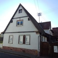
Haus Rückertsweg 7
831 m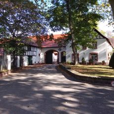
Haus Schloß Philippseich 3-5-7-9
707 m
Haus Rückertsweg 4
808 m
Former community bakery
920 m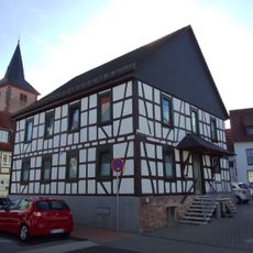
Darmstädter Hof Offenthal
892 m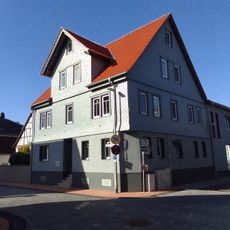
Haus Bahnhofstraße 2
894 m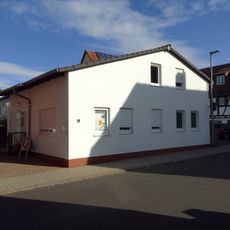
Haus Dieburger Straße 8
944 m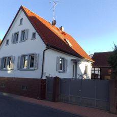
Haus Dieburger Straße 5
956 m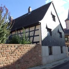
Haus Bahnhofstraße 1
904 m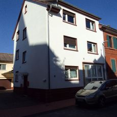
Haus Dieburger Straße 4
932 m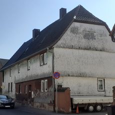
Haus Dieburger Straße 7
968 m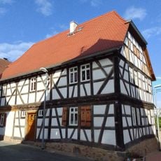
Haus Am Alten Rathaus 24
941 m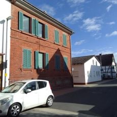
Haus Dieburger Straße 6
939 m
Haus Mainzer Straße 1
881 mReviews
Visited this place? Tap the stars to rate it and share your experience / photos with the community! Try now! You can cancel it anytime.
Discover hidden gems everywhere you go!
From secret cafés to breathtaking viewpoints, skip the crowded tourist spots and find places that match your style. Our app makes it easy with voice search, smart filtering, route optimization, and insider tips from travelers worldwide. Download now for the complete mobile experience.

A unique approach to discovering new places❞
— Le Figaro
All the places worth exploring❞
— France Info
A tailor-made excursion in just a few clicks❞
— 20 Minutes