Enable Location

We need your location to show you interesting places around you

Discover nearby places

Find interesting locations and hidden gems around you

Precise directions

Get accurate directions and distances to places

Your location is never shared with other users. It's only used when you tap the location button.

Offenthal

Log in to your account

Start exploring — it's free

Trusted by 62,058 travelers worldwide

Continue with Google
Continue with Apple
or

We will send you a code to connect

By continuing, you accept our Terms and Conditions and our Privacy Policy

Check your inbox

We've sent a pincode in your inbox. Please enter the code below.

Offenthal

Offenthal, Cadastral district in Dreieich, Germany

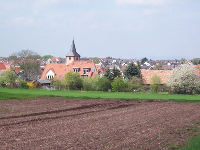
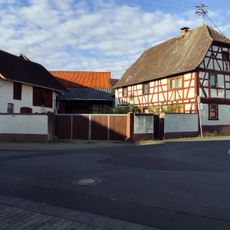
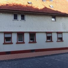
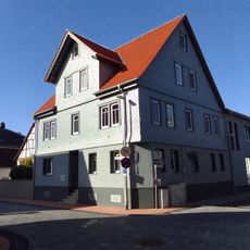
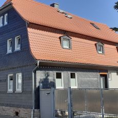
Offenthal is a cadastral district in Dreieich featuring residential areas and green spaces across the Frankfurt Rhein-Main region. The area unfolds across gentle terrain with local roads and paths that connect different neighborhoods together.

The area appears in written records from 834 and came under the rule of the Counts of Isenburg in the 1400s. It later became part of Hessian territory, an event that shaped its political identity.

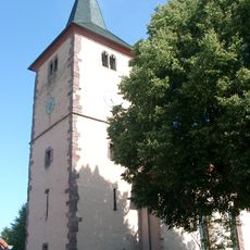
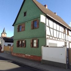
The church at the center serves as a gathering place where residents and visitors can observe how faith has shaped community life over generations. Walking through the district, you notice how religious architecture reflects the changes in local beliefs and traditions.

The district connects well to surrounding areas through the Dreieichbahn railway line and regular bus routes. Visitors should allow time to walk through different neighborhoods to get a full sense of the district.

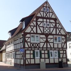
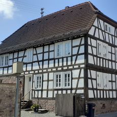
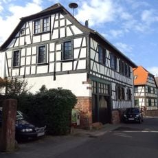
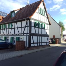
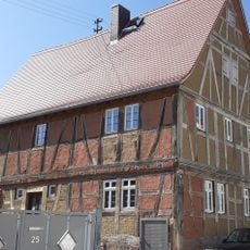
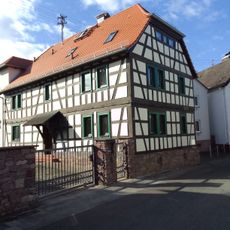
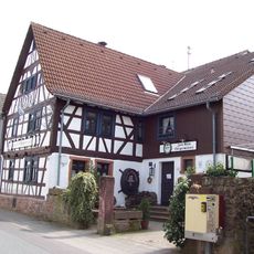
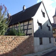
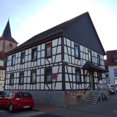
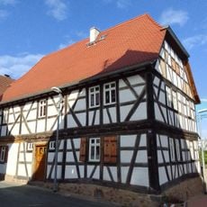
The district sits along two notable routes for travelers: the German Timber Framing Road and the Hessian Apple Wine and Orchard Route. These pathways link local craftsmanship and fruit growing traditions with other important locations in the region, making it a useful stop for hikers and cyclists.

The community of curious travelers

AroundUs brings together thousands of curated places, local tips, and hidden gems, enriched daily by 60,000 contributors worldwide.

Start exploring
Location
Elevation above the sea
179 m
GPS coordinates
49.97967,8.74375
Latest update
December 11, 2025 11:01
« Offenthal - Cadastral district in Dreieich, Germany » is provided by Around Us (aroundus.com). Images and texts are derived from Wikimedia project under a Creative Commons license. You are allowed to copy, distribute, and modify copies of this page, under the conditions set by the license, as long as this note is clearly visible.

Discover hidden gems everywhere you go!

From secret cafés to breathtaking viewpoints, skip the crowded tourist spots and find places that match your style. Our app makes it easy with voice search, smart filtering, route optimization, and insider tips from travelers worldwide. Download now for the complete mobile experience.

Around Us App Screenshot

A unique approach to discovering new places

Le Figaro

All the places worth exploring

France Info

A tailor-made excursion in just a few clicks

20 Minutes

Around Us
Travel Guide & Maps
Download

Send to your phone

QR Code
1

Open the camera app on your mobile.

2

Point at the QR code with your camera. A notification will appear.

3

Tap the notification to open the link.