
Hawstead, village in the United Kingdom
Location: St Edmundsbury
Shares border with: Horringer
GPS coordinates: 52.19800,0.71900
Latest update: March 5, 2025 13:00
Coldham Hall
3.2 km
Hardwick House
3.5 km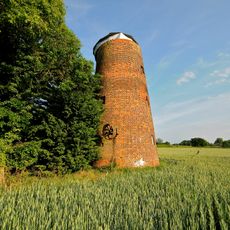
Tutelina Mill
2.1 km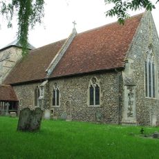
St Nicholas' Church
3.2 km
Church of St Thomas à Becket, Great Whelnetham
1.9 km
All Saints Church, Hawstead
419 m
Church of St Petronilla
2.8 km
Church of St Peter
1.5 km
Church of St Mary Magdalene, Little Whelnetham
3.1 km
Coldham Hall Chapel
3.2 km
Pheasant Cottage
4.3 km
The Cottage The Gildhall
4.4 km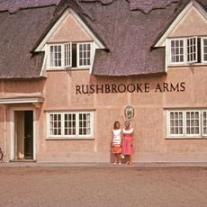
The Rushbrooke Arms Public House
2.5 km
King William Cottage The Post Office
4.4 km
The Beehive Public House
4.2 km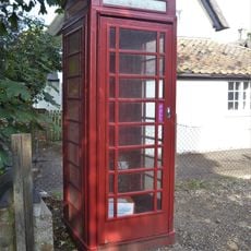
K6 Telephone Kiosk On Green
4.4 km
The Laurels
4.2 km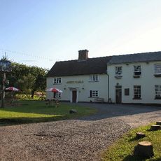
The White Horse Public House
3.4 km
The Green
4.4 km
Cullum House And The Old Primary School And Outbuilding Adjacent To The Rear
42 m
Round House
2.5 km
Ashdown Cottage
4.4 km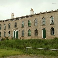
Metcalfe Almshouses
175 m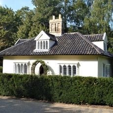
Park Gates
4.1 km
The Gildhall
4.4 km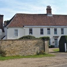
Highlands
4.4 km
The Gables
4.3 km
Church Farmhouse
3.3 kmReviews
Visited this place? Tap the stars to rate it and share your experience / photos with the community! Try now! You can cancel it anytime.
Discover hidden gems everywhere you go!
From secret cafés to breathtaking viewpoints, skip the crowded tourist spots and find places that match your style. Our app makes it easy with voice search, smart filtering, route optimization, and insider tips from travelers worldwide. Download now for the complete mobile experience.

A unique approach to discovering new places❞
— Le Figaro
All the places worth exploring❞
— France Info
A tailor-made excursion in just a few clicks❞
— 20 Minutes