Devil's Chapel Scowles, Protected geological site in Forest of Dean, England.
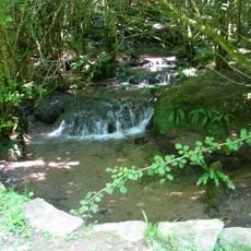
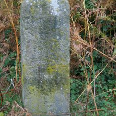
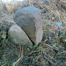
Devil's Chapel Scowles is a protected geological site in the Forest of Dean covering about 45 hectares and contains limestone formations, underground caves, and different habitats. The landscape consists of rough rocky surfaces with cracks and openings that lead to underground spaces, surrounded by scrub and vegetation.
The site was officially recognized as a Site of Special Scientific Interest in 1998, honoring its geological and ecological importance. This designation led to its protected status and marked the start of systematic conservation efforts for the area.
The name 'Scowles' comes from local Forest of Dean terminology and refers to the natural limestone formations that shape the region's character. These rock features are woven into how people understand and experience this landscape.
Visitors should wear sturdy hiking boots since the terrain is uneven with many natural obstacles throughout. Some areas may be closed during bat hibernation periods, so it's wise to check beforehand about access restrictions.
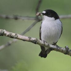
The underground caves serve as a critical winter refuge for two bat species, including the rarer Greater Horseshoe bat. This role as a shelter makes the area especially valuable for local wildlife.
The community of curious travelers
AroundUs brings together thousands of curated places, local tips, and hidden gems, enriched daily by 60,000 contributors worldwide.