
Syerston, human settlement in United Kingdom
Location: Newark and Sherwood
GPS coordinates: 53.01870,-0.88770
Latest update: March 11, 2025 15:37
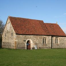
Elston Chapel
1.8 km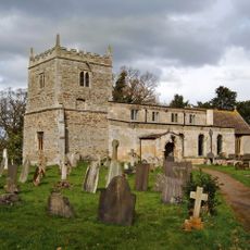
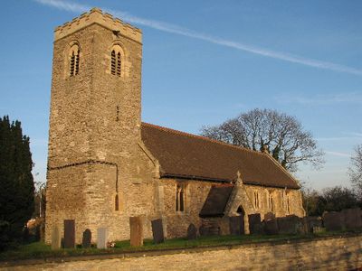
St Oswald's Church, East Stoke
2.6 km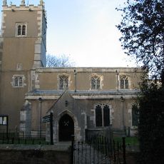
St. Peter's Church, Farndon
4.9 km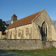
St Michael's Church, Cotham
4.7 km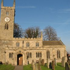
All Saints' Church, Elston
1.2 km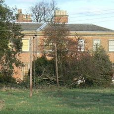
Stoke Hall
2.7 km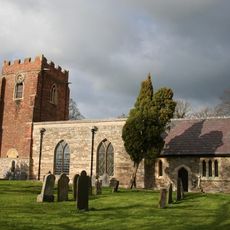
Church of St. Mary and All Saints, Hawksworth
4 km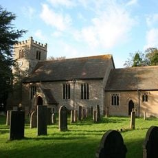
St Mary's Church
3.7 km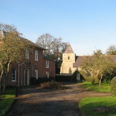
St. Lawrence's Church, Thorpe
3.3 km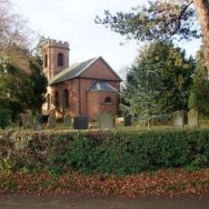
St Denis' Church, Morton
4.4 km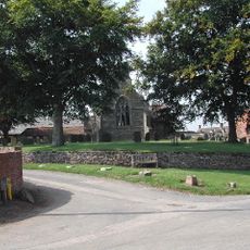
St Helen's Church, Kneeton
4 km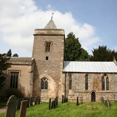
Church of St Augustine
1.5 km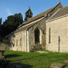
Church of St Mary
4.3 km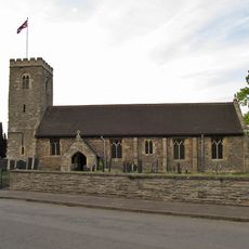
Church of All Saints
101 m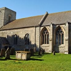
Church of St Peter
2.6 km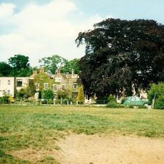
Elston Hall
1.1 km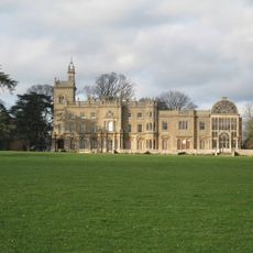
Flintham Hall
1.6 km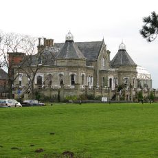
Elston Towers
991 m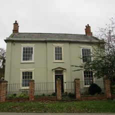
Montague House
11 m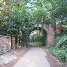
Foot Bridge Over School Lane In The Grounds Of Stoke Hall
2.6 km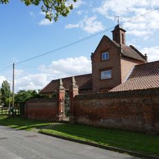
Model Farm Buildings At Top Farm
4 km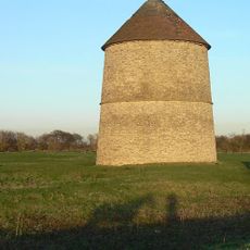
Sibthorpe Dovecote
2.7 km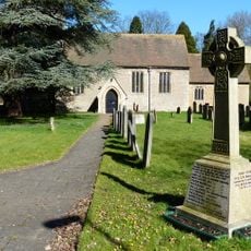
Bleasby War Memorial
3.6 km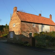
Smith's House
1.5 km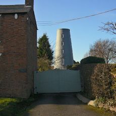
The Windmill
1.4 km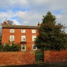
The Hollies
1.5 km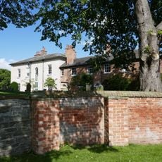
Hawksworth Place And Adjoining Garden Walls
4 km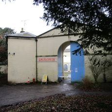
Stable Block And Attached Cottage And Pump At Stoke Hall
2.7 kmVisited this place? Tap the stars to rate it and share your experience / photos with the community! Try now! You can cancel it anytime.
Discover hidden gems everywhere you go!
From secret cafés to breathtaking viewpoints, skip the crowded tourist spots and find places that match your style. Our app makes it easy with voice search, smart filtering, route optimization, and insider tips from travelers worldwide. Download now for the complete mobile experience.

A unique approach to discovering new places❞
— Le Figaro
All the places worth exploring❞
— France Info
A tailor-made excursion in just a few clicks❞
— 20 Minutes