
Manorbier Dovecote, listed building in Manorbier, Pembrokeshire, Wales, UK
Location: Manorbier
Elevation above the sea: 12 m
GPS coordinates: 51.64600,-4.80156
Latest update: March 2, 2025 20:18

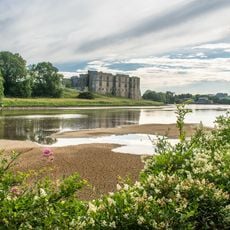
Carew Castle
6.2 km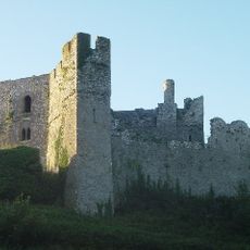
Manorbier Castle
129 m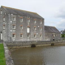
Carew Tidal Mill
6.3 km
Lamphey Bishop's Palace
5.4 km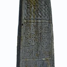
Carew Cross
6.1 km
Lamphey Court
5.6 km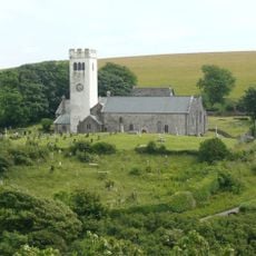
St James's Church, Manorbier
314 m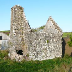
Carswell Medieval House
4.8 km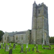
St Mary's Church
5.2 km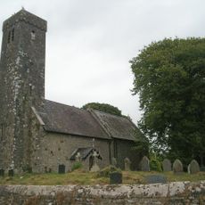
Hodgeston Parish Church
3.7 km
Lydstep Palace
2.4 km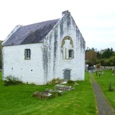
Old Mortuary Chapel
5.3 km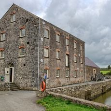
Carew Tidal Mill
6.3 km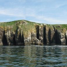
St Margaret's Island
5.7 km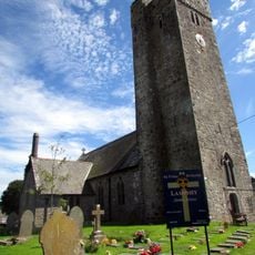
Church of St Tyfie and St Faith
5.4 km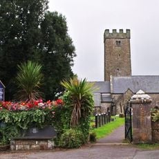
Church Of St Florence
3.8 km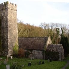
Church Of St Lawrence
5.7 km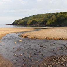
Freshwater East Beach
4.4 km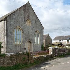
Bethel Congregational Chapel
3.8 km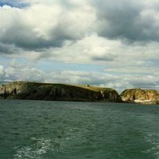
Ynys St. Margaret
5.9 km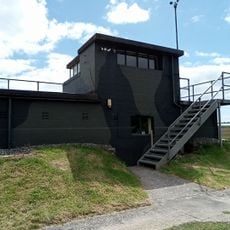
Carew Cheriton Control Tower
5.2 km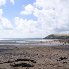
Manorbier Beach
426 m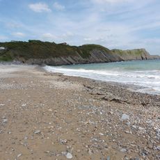
Lydstep Beach
3 km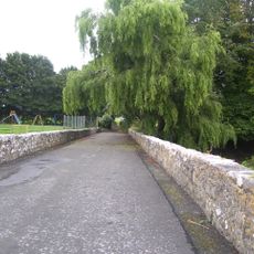
Milton Bridge
5.7 km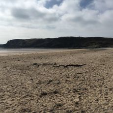
Penally Beach
6.1 km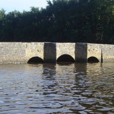
Carew Bridge
6.2 km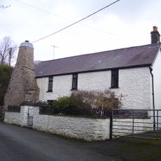
Old Chimneys
3.9 km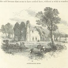
Scotsborough House
6.3 kmReviews
Visited this place? Tap the stars to rate it and share your experience / photos with the community! Try now! You can cancel it anytime.
Discover hidden gems everywhere you go!
From secret cafés to breathtaking viewpoints, skip the crowded tourist spots and find places that match your style. Our app makes it easy with voice search, smart filtering, route optimization, and insider tips from travelers worldwide. Download now for the complete mobile experience.

A unique approach to discovering new places❞
— Le Figaro
All the places worth exploring❞
— France Info
A tailor-made excursion in just a few clicks❞
— 20 Minutes