
Yarwell, village and civil parish in Northamptonshire, United Kingdom
Location: North Northamptonshire
GPS coordinates: 52.56490,-0.43030
Latest update: March 2, 2025 20:16
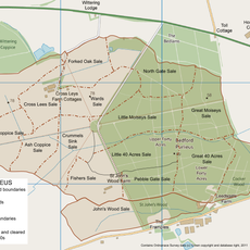
Bedford Purlieus National Nature Reserve
2.8 km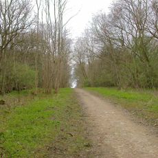
Old Sulehay Forest
1 km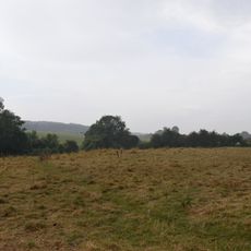
Wansford Pasture
2 km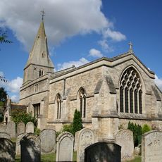
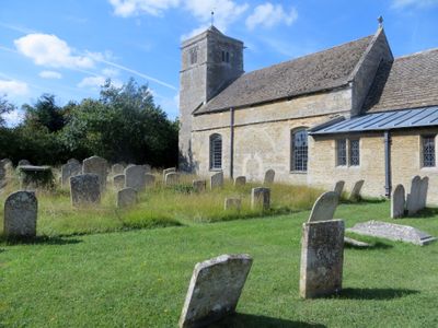
Church of St Mary the Virgin
2 km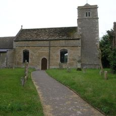
Church of St Mary Magdalene
650 m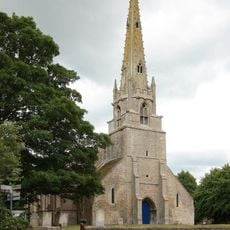
Church of St Mary the Virgin and All Saints
1.3 km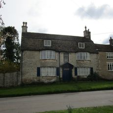
45, Church Street
1.4 km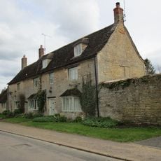
35, Church Street
1.4 km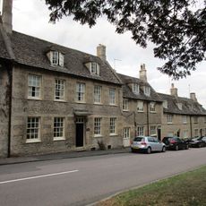
Church House
2 km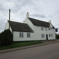
Black Horse Inn
1.4 km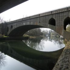
Wansford Bridge
2.2 km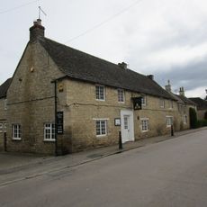
Queens Head Public House
1.1 km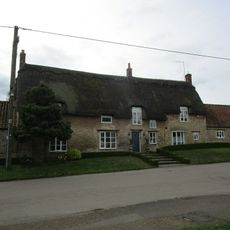
Three Mill Bills
1.3 km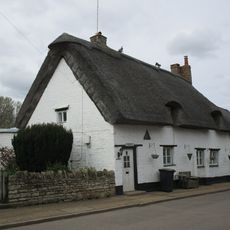
Winford Cottage
1 km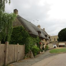
Meadow Cottage
1.9 km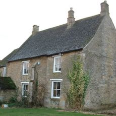
Prebendal Manor House
1.4 km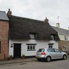
21, Station Road
1.2 km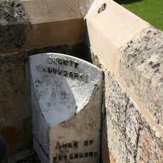
County Boundary Post Beside West Side Cutwater Parapet
1.9 km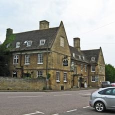
The Haycock Hotel
1.9 km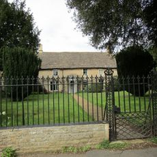
Nassington House
1.3 km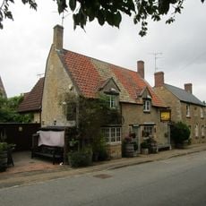
The Angel Public House
646 m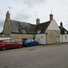
Berryside The Nutshell
1.3 km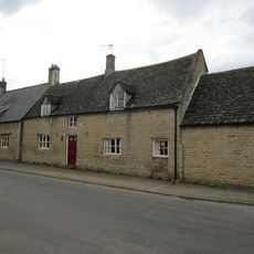
61, Station Road
1 km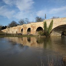
Wansford Old Bridge
1.9 km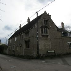
Manor House
1.3 km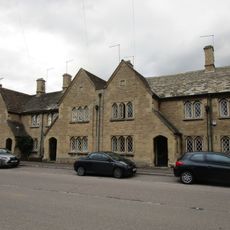
1-11, Elton Road
1.8 km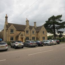
6 8, London Road
1.9 km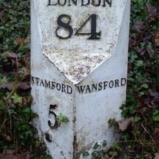
Milepost, Old North Road at jct with A1 and A47
2.5 kmVisited this place? Tap the stars to rate it and share your experience / photos with the community! Try now! You can cancel it anytime.
Discover hidden gems everywhere you go!
From secret cafés to breathtaking viewpoints, skip the crowded tourist spots and find places that match your style. Our app makes it easy with voice search, smart filtering, route optimization, and insider tips from travelers worldwide. Download now for the complete mobile experience.

A unique approach to discovering new places❞
— Le Figaro
All the places worth exploring❞
— France Info
A tailor-made excursion in just a few clicks❞
— 20 Minutes