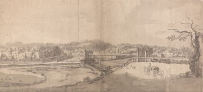
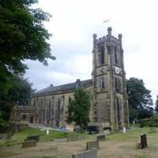
Esholt Priory, Cistercian priory in West Yorkshire, England.
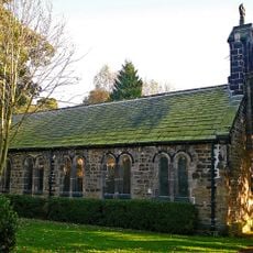
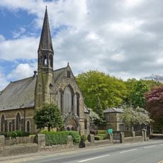
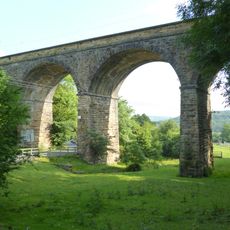
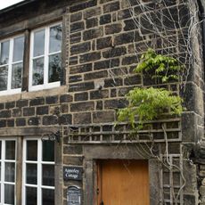
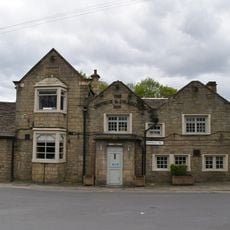
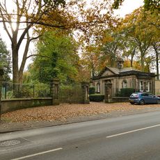
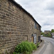
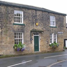
Esholt Priory is a medieval religious community in West Yorkshire surrounded by wooded land with ash trees, where Esholt Hall was built later between 1706 and 1707. The complex includes several Grade II listed structures connected by various paths and lanes.
Simon Warde founded the community in the 12th century and granted the estate to the nuns of Syningthwaite Priory, with formal confirmation in 1172. The priory operated as a religious community until its closure during the religious reforms of 1540.
The priory was dedicated to St Mary and St Leonard, following the strict Cistercian way of life practiced by the nuns who lived here. The religious community shaped how this wooded land was used and organized for centuries.
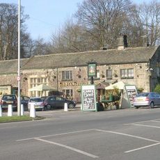
The site is located about 3 miles east of Shipley and can be reached through various connecting lanes in the area. The grounds are accessible for walking, though visitors should be prepared for uneven terrain and wooded surroundings.
In 1303, the prioress Juliana De La Wodehall tried to resign after a scandal, but the bishop refused her request. This shows that the position came with obligations that could not easily be set aside.
GPS coordinates: 53.85294,-1.71486
Latest update: December 14, 2025 16:42
Church of St Paul
771 m
Woodhouse Grove Methodist Church And School Chapel
1.6 km
Thackley railway bridges
1 km
Trinity Church
1.8 km
Church of the Holy Trinity
2 km
The Stansfield Arms Public House And Integral Barn
1.7 km
The Commercial Inn
873 m
The Bridge
1.8 km
Rawdon Community Library
1.9 km
Esholt Viaduct
1.1 km
Trinity Church Sunday School
1.8 km
Rawdon War Memorial
2 km
Leeds And Liverpool Canal Retaining Walls, Gates And Shoot Of Dobson Locks
1.5 km
Leeds And Liverpool Canal, Field 3 Rise Lock 16 18 At Se180 398
872 m
291, Apperley Road
1.7 km
The George And Dragon Inn And Adjoining Stable/Coach House With The Link Building
1.8 km
K6 Telephone Kiosk Outside Number 21 (The Post Office)
871 m
Millman Swing Bridge
1.7 km
Gate Lodge And Gate Piers To Park Gate House
1.8 km
Elm Tree Farmhouse And Adjoining Barn
1.8 km
Prehistoric enclosure, carved rocks and orthostat wall, Buck Wood, 195m west of football ground
1.5 km
13-21, Main Street
861 m
Idle Swing Bridge
1 km
Leeds And Liverpool Canal British Waterways Authority Works Depot Building By Summit Of Dobson Locks
1.5 km
Leeds And Liverpool Canal Barn To Rear Of Bottom Farmhouse
1.2 km
Milestone Set On Top Of Wall Approximately 10 Metres North East Of Hollings Hill Garage
1.9 km
Milestone, New Road, Yeadon
1.6 km
Milestone, Otley Road, Hollins Hill, Hawkswood
1.5 kmVisited this place? Tap the stars to rate it and share your experience / photos with the community! Try now! You can cancel it anytime.
Discover hidden gems everywhere you go!
From secret cafés to breathtaking viewpoints, skip the crowded tourist spots and find places that match your style. Our app makes it easy with voice search, smart filtering, route optimization, and insider tips from travelers worldwide. Download now for the complete mobile experience.
A unique approach to discovering new places❞
— Le Figaro
All the places worth exploring❞
— France Info
A tailor-made excursion in just a few clicks❞
— 20 Minutes