
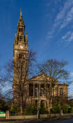
614-620 Shields Road, Pollokshields Free Church West
614-620 Shields Road, Pollokshields Free Church West, church building in Glasgow, Scotland, UK
Location: Glasgow City
Location: Glasgow
GPS coordinates: 55.84060,-4.27782
Latest update: March 4, 2025 12:39
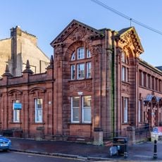
Pollokshields Library
316 m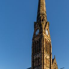
Pollokshields Parish Church
305 m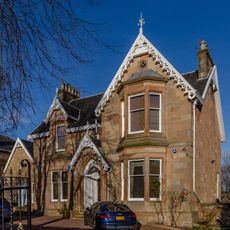
Ashbank, 174 Nithsdale Road, Pollokshields, Glasgow
166 m
Pollokshields, 21 Aytoun Road
314 m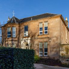
Pollokshields, 178 Nithsdale Road, Helenslea
216 m
Pollokshields, 19 Aytoun Road
312 m
Albert Drive, War Memorial
291 m
74 Terregles Avenue, Glasgow
300 m
50 Leven Street, 48, Glasgow
72 m
42, 44, 46 Leven Street, Glasgow
97 m
36, 38, 40 Leven Street, Glasgow
122 m
10 Leslie Road, Glasgow
139 m
84 Nithsdale Road
387 m
30, 32, 34 Leven Street, Glasgow
147 m
94 Nithsdale Road
368 m
136, 138, 140, 142, 144 Nithsdale Road
236 m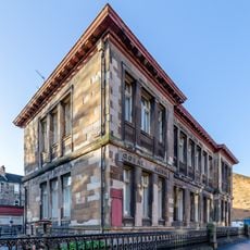
11 Melville Street, Pollokshields Public School
360 m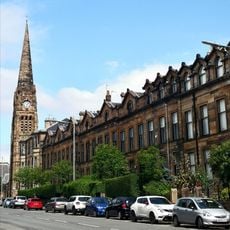
573 Shields Road
205 m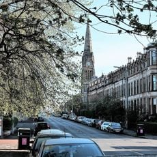
609 Shields Road
134 m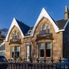
8 Leslie Road
123 m
126, 128, 130, 132, 134 Nithsdale Road
255 m
116, 120, 122, 124 Nithsdale Road
276 m
Pollokshields, 241 Albert Drive, Pollokshields Primary School
275 m
150, 152, 154 Nithsdale Road
216 m
280 Darnley Street
390 m
64 Terregles Avenue, Glasgow
298 m
102 Nithsdale Road
352 m
312 Albert Drive
337 mVisited this place? Tap the stars to rate it and share your experience / photos with the community! Try now! You can cancel it anytime.
Discover hidden gems everywhere you go!
From secret cafés to breathtaking viewpoints, skip the crowded tourist spots and find places that match your style. Our app makes it easy with voice search, smart filtering, route optimization, and insider tips from travelers worldwide. Download now for the complete mobile experience.

A unique approach to discovering new places❞
— Le Figaro
All the places worth exploring❞
— France Info
A tailor-made excursion in just a few clicks❞
— 20 Minutes