
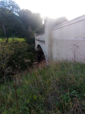
Ferniehirst Bridge, bridge south of Jedburgh, Scottish Borders, Scotland, UK, carries the A68 road across Jed Water
Location: Scottish Borders
Location: Jedburgh
GPS coordinates: 55.45810,-2.55863
Latest update: April 6, 2025 19:30
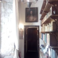
Ferniehirst Castle
630 m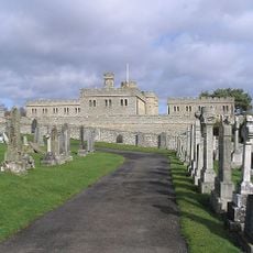
Jedburgh Castle
1.8 km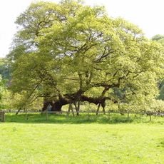
Capon Oak Tree
522 m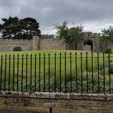
Jedburgh Castle Jail & Museum
1.8 km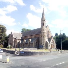
Old Parish Church
1.9 km
Inchbonny, Newcastle Road, Jedburgh
1.3 km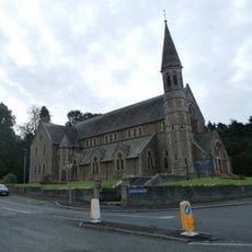
Jedburgh, High Street, Trinity Church
1.9 km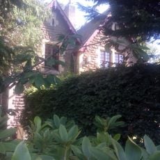
Kirkland House
1.8 km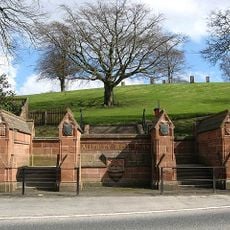
Gatepiers And Boundary Wall, Allerley Well Park, Newcastle Road, Jedburgh
1.7 km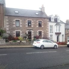
89 Castlegate, Jedburgh
1.9 km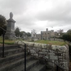
Castlegate Cemetery
1.7 km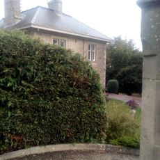
The Hermitage, Galahill, Jedburgh
1.8 km
Drinking Fountain, Allerley Well Park, Newcastle Road, Jedburgh
1.7 km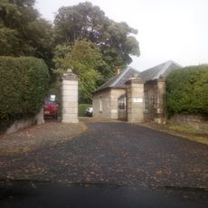
Lodge, Glenburn Hall
1.6 km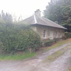
Lodge, Lintlee
186 m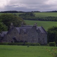
Hundalee
394 m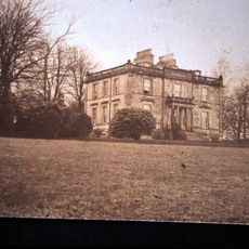
Glenburn Hall
1.8 km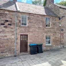
74 Castlegate, Jedburgh
1.9 km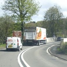
Jedburgh, Newcastle Road, Inchbonny Bridge
1.2 km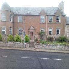
91 Castlegate, Jedburgh
1.9 km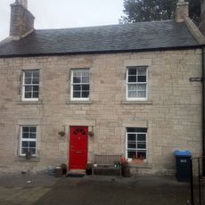
76 Castlegate, Jedburgh
1.9 km
Lynwell And Castle Dene,
1.9 km
Jedwater House, Outbuilding
1.1 km
72 Castlegate, Jedburgh
1.9 km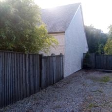
Garage, Inchbonny, Newcastle Road, Jedburgh
1.4 km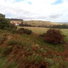
Stables, Glenburn Hall
1.8 km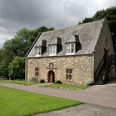
Ferniehirst Castle Visitor Centre (Former Chapel)
609 m
Glendouglas
972 mReviews
Visited this place? Tap the stars to rate it and share your experience / photos with the community! Try now! You can cancel it anytime.
Discover hidden gems everywhere you go!
From secret cafés to breathtaking viewpoints, skip the crowded tourist spots and find places that match your style. Our app makes it easy with voice search, smart filtering, route optimization, and insider tips from travelers worldwide. Download now for the complete mobile experience.

A unique approach to discovering new places❞
— Le Figaro
All the places worth exploring❞
— France Info
A tailor-made excursion in just a few clicks❞
— 20 Minutes