
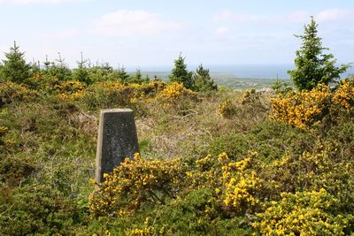
Mynydd Cefnamwlch, hill (183m) in Gwynedd
Location: Gwynedd
Elevation above the sea: 183 m
GPS coordinates: 52.87333,-4.63149
Latest update: April 21, 2025 00:55

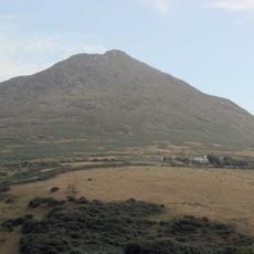
Carn Fadryn
4.9 km
Conion
5.6 km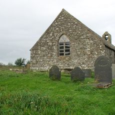
St Mary's Church
1.1 km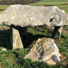
Cefnamwlch Burial Chamber
651 m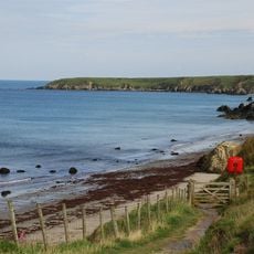
Penllech Beach
2.7 km
Castell Caeron
3.8 km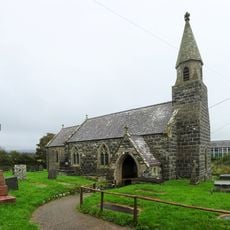
Church of St Beuno
4 km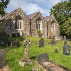
St Gwynhoydl's Church
2.2 km
St Iestyn's Church
4 km
Church of St Cwyfan
3 km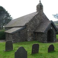
St Mary's Church
2.4 km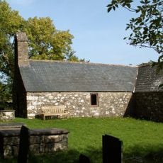
St Tudwen's Church
5.3 km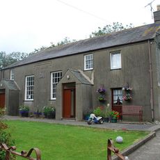
Tŷ Mawr Chapel
1.7 km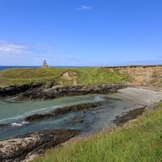
Porth Ysgaden
3.7 km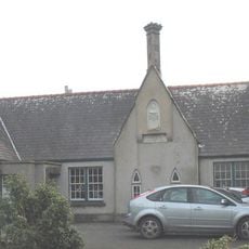
Old School to S of St Beuno's Church against churchyard
4.1 km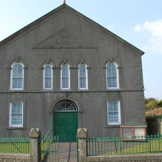
Tudweiliog Chapel
2.8 km
Pont Rhyd-goch
4.3 km
Bridge at Trewen
4.8 km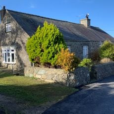
Beerseba Independent Chapel
2.9 km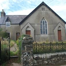
Bethel Welsh Independent Chapel
2.5 km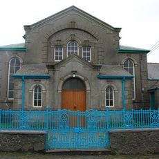
Hebron Welsh Independent Chapel
3.1 km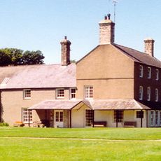
Cefnamwlch
1.4 km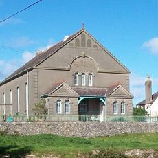
Penygraig Chapel
2.8 km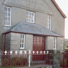
Penllech Chapel
2.1 km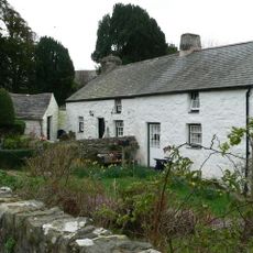
Ty'n Llan
3.9 km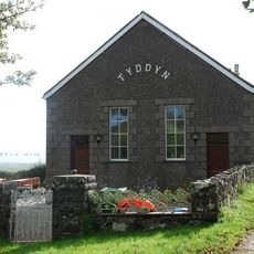
Tyddyn Methodist Chapel
3.3 km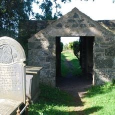
Lychgate and churchyard wall to Church of St Tudwen
5.3 km
Lime Kiln
3.7 kmReviews
Visited this place? Tap the stars to rate it and share your experience / photos with the community! Try now! You can cancel it anytime.
Discover hidden gems everywhere you go!
From secret cafés to breathtaking viewpoints, skip the crowded tourist spots and find places that match your style. Our app makes it easy with voice search, smart filtering, route optimization, and insider tips from travelers worldwide. Download now for the complete mobile experience.

A unique approach to discovering new places❞
— Le Figaro
All the places worth exploring❞
— France Info
A tailor-made excursion in just a few clicks❞
— 20 Minutes