Enable Location

We need your location to show you interesting places around you

Discover nearby places

Find interesting locations and hidden gems around you

Precise directions

Get accurate directions and distances to places

Your location is never shared with other users. It's only used when you tap the location button.

Gwynedd

Log in to your account

Start exploring — it's free

Trusted by 62,832 travelers worldwide

Continue with Google
Continue with Apple
or

We will send you a code to connect

By continuing, you accept our Terms and Conditions and our Privacy Policy

Check your inbox

We've sent a pincode in your inbox. Please enter the code below.

Gwynedd, Principal area in northwestern Wales, United Kingdom.

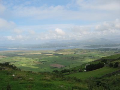
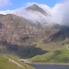
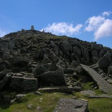
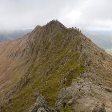
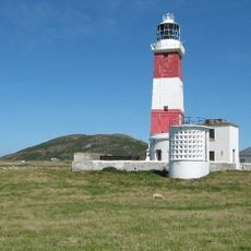
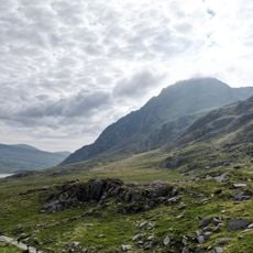
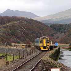
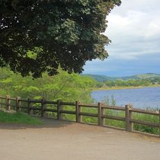
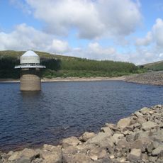
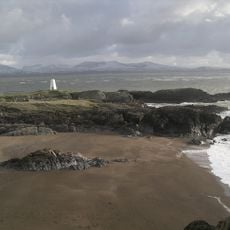
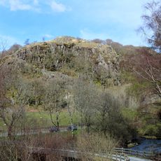
Gwynedd is a principal administrative area in northwestern Wales that encompasses mountains, lengthy coastlines, and Snowdonia National Park, home to Wales's highest peak, Snowdon. The landscape shifts between highlands and sea edges throughout the region.

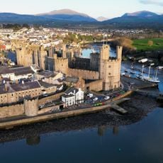
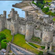
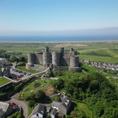
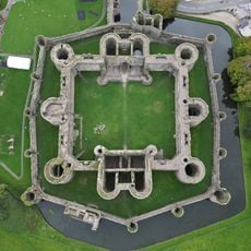
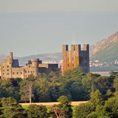
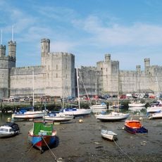
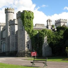
The region functioned as an independent Welsh kingdom from the end of Roman rule until the 13th century. English conquest under Edward I brought fortified castles that solidified political control over the territory.

Welsh is the dominant language heard in daily life here, appearing on street signs and in shops. This linguistic character shapes how the community interacts and presents itself to visitors.

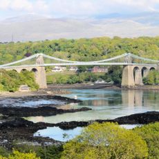
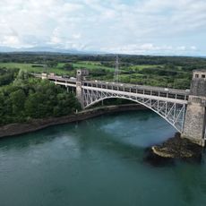
Caernarfon serves as the administrative center, while Bangor functions as the largest settlement providing main services for visitors. Public transportation links connect the principal towns throughout the area.

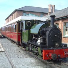
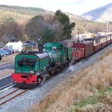
The former slate quarries of Penrhyn and Dinorwic were once among the world's largest and now form part of a UNESCO World Heritage site. Visitors can explore this industrial past through preserved sites and remains.

The community of curious travelers

AroundUs brings together thousands of curated places, local tips, and hidden gems, enriched daily by 60,000 contributors worldwide.

Start exploring
Location
Inception
April 1, 1974
Shares border with
Isle of Anglesey, Ceredigion, Conwy County Borough, Denbighshire, Powys
GPS coordinates
52.83333,-3.91667
Latest update
December 15, 2025 13:20
« Gwynedd - Principal area in northwestern Wales, United Kingdom » is provided by Around Us (aroundus.com). Images and texts are derived from Wikimedia project under a Creative Commons license. You are allowed to copy, distribute, and modify copies of this page, under the conditions set by the license, as long as this note is clearly visible.

Discover hidden gems everywhere you go!

From secret cafés to breathtaking viewpoints, skip the crowded tourist spots and find places that match your style. Our app makes it easy with voice search, smart filtering, route optimization, and insider tips from travelers worldwide. Download now for the complete mobile experience.

Around Us App Screenshot

A unique approach to discovering new places

Le Figaro

All the places worth exploring

France Info

A tailor-made excursion in just a few clicks

20 Minutes

Around Us
Travel Guide & Maps
Download

Send to your phone

QR Code
1

Open the camera app on your mobile.

2

Point at the QR code with your camera. A notification will appear.

3

Tap the notification to open the link.