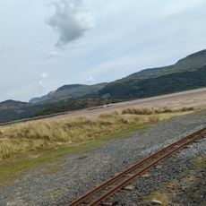
Cambrian Line, Railway line between Shrewsbury and Welsh coast, England and Wales
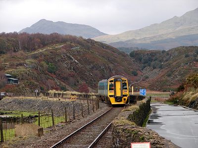
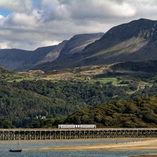
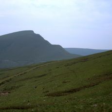
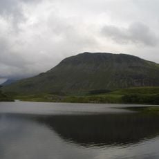
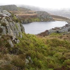
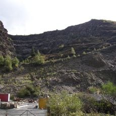
The Cambrian Line is a railway route running from Shrewsbury on the England-Wales border all the way to two destinations on the Welsh coast. It travels through forested valleys, across mountain passes, and past small market towns, with the line splitting at Dovey Junction into two separate branches.
The line was built in stages between 1855 and 1869 by combining several independent railway companies to improve connections to remote areas. This gradual expansion was crucial in linking isolated Welsh communities to the wider railway network and reducing their geographic separation.
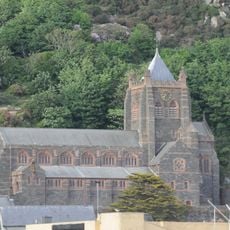
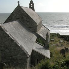
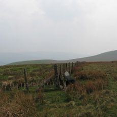
The train links remote villages and farming communities that would otherwise have limited connections to other towns. It passes through Welsh-speaking regions where the service remains essential for maintaining ties between isolated settlements and the wider world.
Trains run regularly on both branches and provide reliable service between the two destinations. Passengers should expect longer travel times since the line stops at many small stations and travels through hilly terrain.
At Dovey Junction, passengers once switched between two completely different trains serving separate destinations on different schedules. This junction remains a rare example of a railway station with no town around it, existing only as an exchange point in open countryside.
The community of curious travelers
AroundUs brings together thousands of curated places, local tips, and hidden gems, enriched daily by 60,000 contributors worldwide.