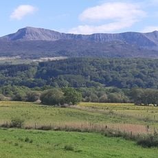
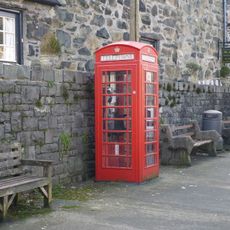
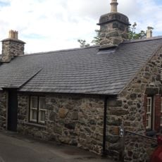
Cadair Idris, Mountain summit in Gwynedd, Wales.
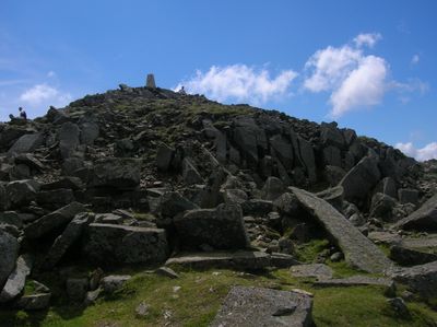
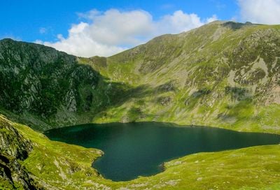
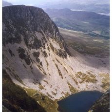
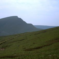
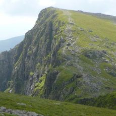
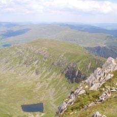
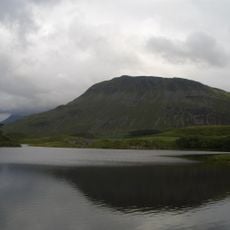
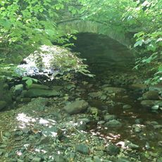
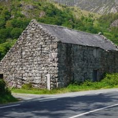
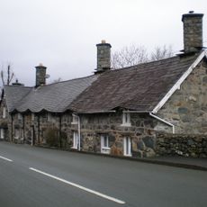
Cadair Idris is a summit in Gwynedd County at the southern boundary of Snowdonia National Park, reaching 893 meters (2,930 feet) above sea level. The mountain displays three main peaks, several steep rock faces, and small lakes of glacial origin nestled in its valleys.
Volcanic activity during the Ordovician period formed the bedrock of the mountain several hundred million years ago. Glaciers from the last ice age then carved the valleys and steep slopes visible today.
The name translates to Chair of Idris, referencing either a mythological giant or Idris ap Gwyddno, a 7th-century prince who conducted military operations from the mountain.
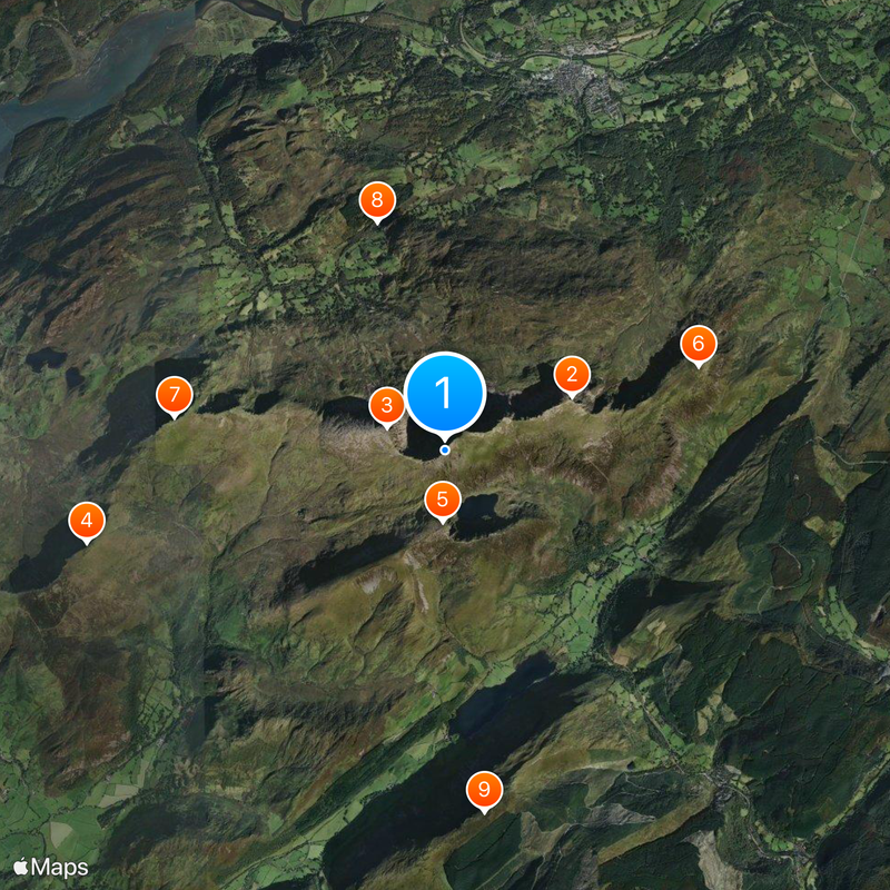
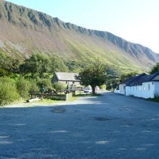
Three main paths lead to the summit: the Pony Path, the Fox's Path, and the Minffordd Path, each taking roughly five to six hours for a complete round trip. The trails are manageable in dry weather but can become slippery and difficult to follow during fog or rain.
Since 1957 the status as a national nature reserve protects rare Arctic-alpine plant species such as purple saxifrage and several dwarf willow varieties. These species survive here in high-altitude zones that resemble their original ice age environment.
The community of curious travelers
AroundUs brings together thousands of curated places, local tips, and hidden gems, enriched daily by 60,000 contributors worldwide.