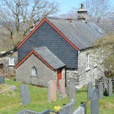
Gau Graig, Mountain summit in Gwynedd, United Kingdom
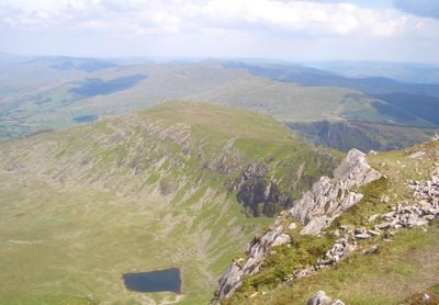
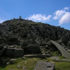
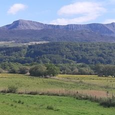
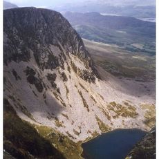
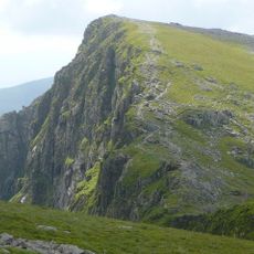
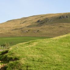
Gau Graig is a 683.7 meter (2,243 foot) summit in the Cadair Idris range in Gwynedd, featuring grassy plateaus and scattered stone formations across its eastern ridge. Walking trails wind through the area, linking this peak to neighboring mountains and providing various vantage points along the way.
The summit took its current shape through glacial activity during the last ice age, which reshaped the entire Snowdonia landscape. These ancient geological processes created the plateaus and rock formations that remain visible on the mountain today.
The name Gau Graig comes from Welsh, meaning 'eagle hill', reflecting how local people have always thought of this place in their stories and traditions. Walking these routes today connects visitors to the landscape in the way people have for centuries.
Marked trails from Dolgellau lead to the summit, with detailed maps like Landranger 124 or Explorer OL23W helpful for navigation during the hike. Good boots and caution in changing weather are needed, as the exposed ridge can become slippery when wet.
On clear days, the summit offers unobstructed views of neighboring peaks including Mynydd Gwerngraig, Mynydd Moel, and the main Cadair Idris summit across the range. This vantage point gives hikers a clear sense of how the mountains connect and form one larger landscape.
The community of curious travelers
AroundUs brings together thousands of curated places, local tips, and hidden gems, enriched daily by 60,000 contributors worldwide.