Craig Cwm Amarch, Mountain summit in Gwynedd, United Kingdom
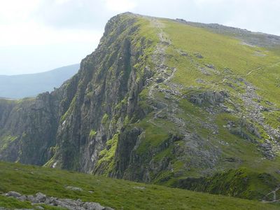
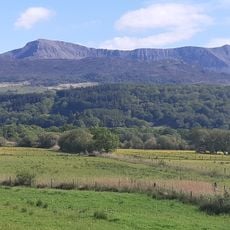
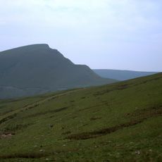
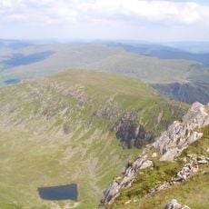
Craig Cwm Amarch is a mountain summit in Gwynedd that rises to about 792 meters. It forms the northern spur of a ridge that extends toward the higher Cadair Idris peak.
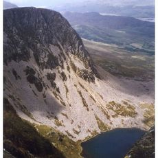
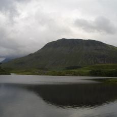
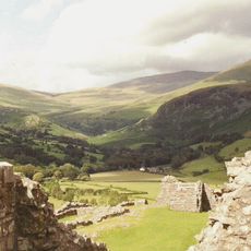
Its rock was shaped during the Ice Age by glacial movement, leaving behind the steep slopes and valleys that define the area today. These ancient geological processes created the distinctive landscape of northern Snowdonia.
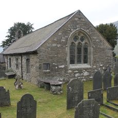
The mountain functions as a significant geographical marker within Welsh mountaineering traditions and serves as a reference point for local hiking communities.
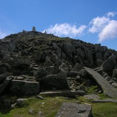
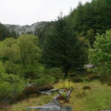
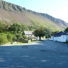
The summit can be reached via several hiking routes, including the popular Minffordd Path with varying difficulty levels. Ordnance Survey maps OL23 and Landranger 124 provide helpful navigation details for planning your ascent.
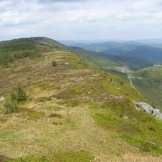
Despite its modest height, the mountain appeals to rock climbers for its natural climbing formations and technical routes. This characteristic makes it a popular destination for sport climbers exploring southern Snowdonia.
The community of curious travelers
AroundUs brings together thousands of curated places, local tips, and hidden gems, enriched daily by 60,000 contributors worldwide.