Downend and Bromley Heath, civil parish in South Gloucestershire, Gloucestershire, England
Location: South Gloucestershire
GPS coordinates: 51.49300,-2.50700
Latest update: March 8, 2025 04:39
St Matthias
1.8 km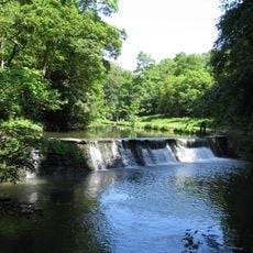
Oldbury Court Estate
1.5 km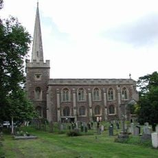
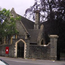
St John the Baptist, Frenchay
977 m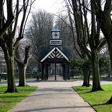
Page Park
1.4 km
White Horse Inn
1.8 km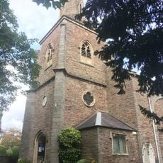
Church of St Mary
2 km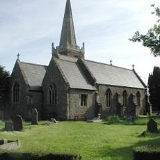
Church of St James
1.9 km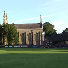
Christ Church
747 m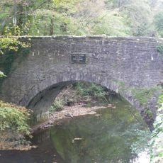
Frenchay Bridge
902 m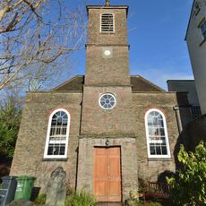
Unitarian Chapel
989 m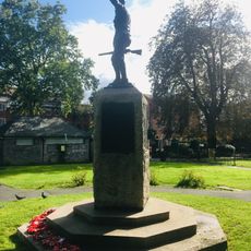
Fishponds War Memorial
2 km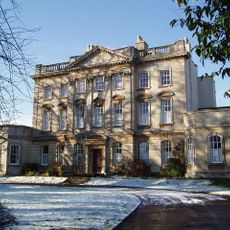
Frenchay Manor
1.2 km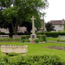
Mangotsfield War Memorial
1.9 km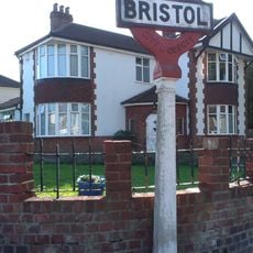
Boundary Marker Located At The Junction Of Thicket Road And High Street
1.4 km
Group Of Three Tombs Approximately 2 Metres North West Of Church Of St Mary
2 km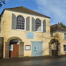
Friends' Meeting House
1 km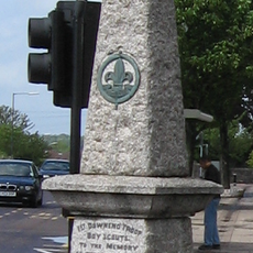
Downend Boy Scouts' War Memorial
564 m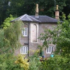
Cleeve Wood Lodge
618 m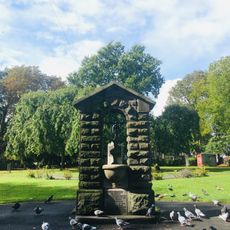
Drinking Fountain In Fishponds Park
2 km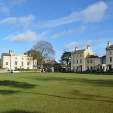
The Old House And Adjoining Coach House And Stables
974 m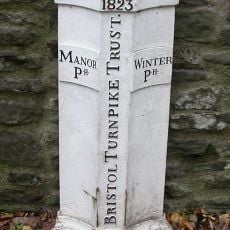
Turnpike Boundary Post On Cleeve Road Bridge
662 m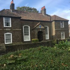
Numbers 11, 13 And 15 And Attached Garden Wall
2 km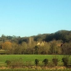
Moorend Farmhouse
1.8 km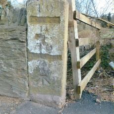
Milestone, Bristol Road, Hambrook
1.9 km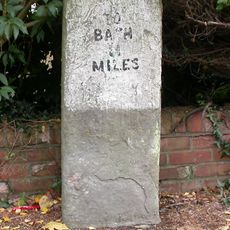
Milestone, Rodway Hill
2 km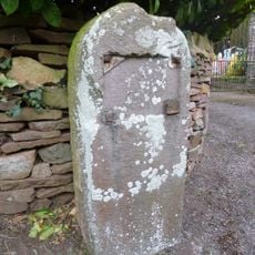
Milestone, Mapstone Close, Hambrook
2.1 km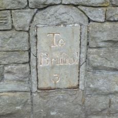
Milestone, Fishponds Road, N side of park wall
2 km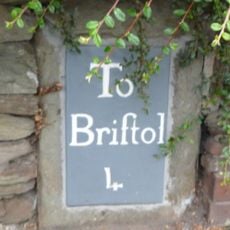
Milestone, Downend Road; opp. jcn Christchurch Lane by No. 72B
746 mVisited this place? Tap the stars to rate it and share your experience / photos with the community! Try now! You can cancel it anytime.
Discover hidden gems everywhere you go!
From secret cafés to breathtaking viewpoints, skip the crowded tourist spots and find places that match your style. Our app makes it easy with voice search, smart filtering, route optimization, and insider tips from travelers worldwide. Download now for the complete mobile experience.

A unique approach to discovering new places❞
— Le Figaro
All the places worth exploring❞
— France Info
A tailor-made excursion in just a few clicks❞
— 20 Minutes