
The Mens, woodland and nature reserve in West Sussex, England, UK
Location: Kirdford
Part of: The Mens SSSI
GPS coordinates: 50.99604,-0.54794
Latest update: April 1, 2025 19:23
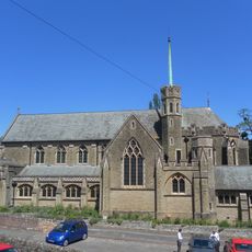
Sacred Heart Church
4.3 km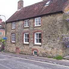
Petworth Cottage Museum
4.3 km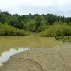
Bognor Common Quarry
1.8 km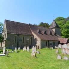
The Parish Church of St Mary
3.7 km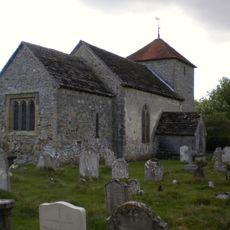
The Parish Church of St Mary
4 km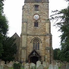
The Parish Church of St John the Baptist
3.6 km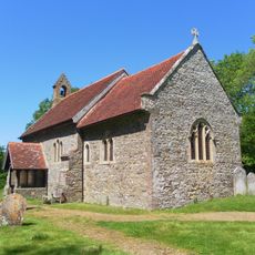
Church of St Bartholomew
3.6 km
The Zoar Chapel
4.1 km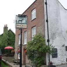
The Black Horse Public House
3.7 km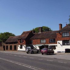
The Three Crowns Inn
4.3 km
New Grove
4.3 km
The Angel Hotel
4.3 km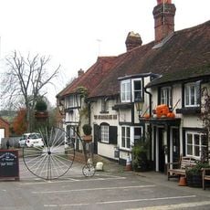
The Stonemasons Inn
4.3 km
Sorrels Cottage
3.6 km
Riverhill House
2.3 km
Nos 328 A, B, C, D, E, F, G, H, I, K, L And M Leconfield Estate (Percy Row) Percy Row
4.3 km
Wisborough Green War Memorial
4.2 km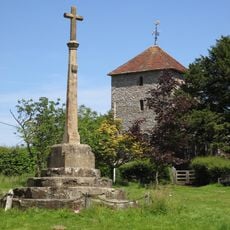
Stopham War Memorial
4 km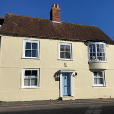
Angel House
4.3 km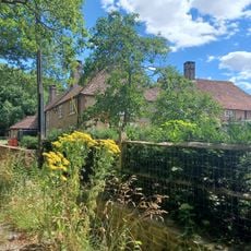
Stroods And The Homestead
1.8 km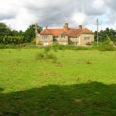
Manor Farmhouse
3.9 km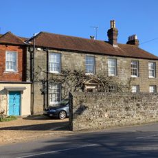
Grays
4.2 km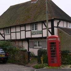
Nos 374 And 375 Leconfield Estate
3.7 km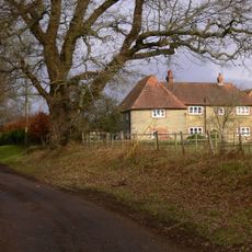
Nos 85 And 86 Leconfield Estate Riverhill Farmhouse
2.3 km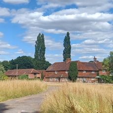
Ingrams Farmhouse
1.9 km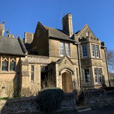
The Presbytery Of The Roman Catholic Church
4.2 km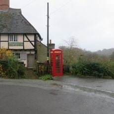
K6 Telephone Kiosk Opposite The Old Post Office
3.7 km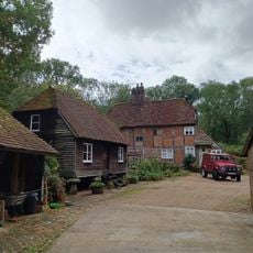
Oldhams
2.4 kmReviews
Visited this place? Tap the stars to rate it and share your experience / photos with the community! Try now! You can cancel it anytime.
Discover hidden gems everywhere you go!
From secret cafés to breathtaking viewpoints, skip the crowded tourist spots and find places that match your style. Our app makes it easy with voice search, smart filtering, route optimization, and insider tips from travelers worldwide. Download now for the complete mobile experience.

A unique approach to discovering new places❞
— Le Figaro
All the places worth exploring❞
— France Info
A tailor-made excursion in just a few clicks❞
— 20 Minutes