
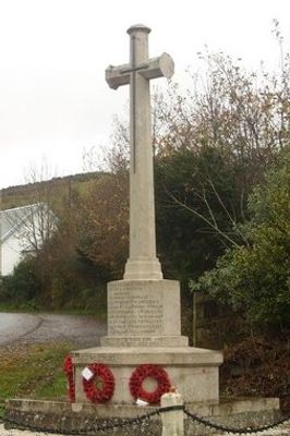
Llangynog War Memorial, wayside cross made of ashlar on an octagonal granite base
Location: Llangynog
Elevation above the sea: 83.8 m
GPS coordinates: 51.81360,-4.41030
Latest update: March 5, 2025 18:44
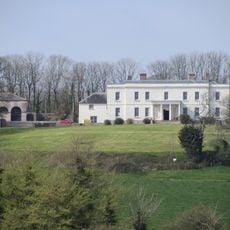
Plas Llanstephan
5.1 km
Beacon Bog
1.9 km
Hen Gapel
3 km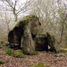
Twlc y Filiast
597 m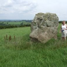
Maen Llwyd
2.9 km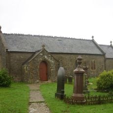
Church Of St Cynog
606 m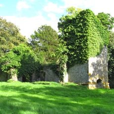
Ruins of former St Michael's Parish Church
4.3 km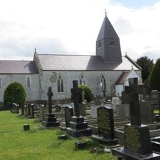
Church of St Michael
4.2 km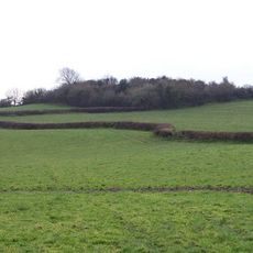
Castell Cogan
2 km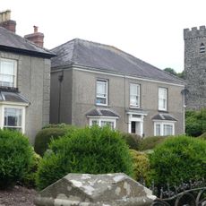
Park Villa
5 km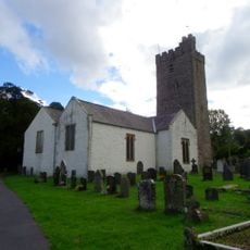
Church of St Ystyffan
4.9 km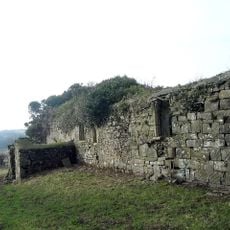
Church of St Teilo
3.9 km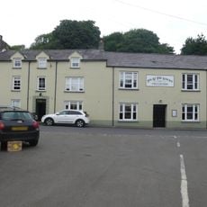
The Sticks Hotel
4.9 km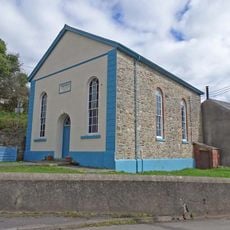
Bethany Welsh Baptist Church
4.7 km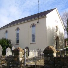
Ebeneser Welsh Baptist Church
759 m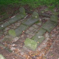
Pilgrims Graves By Ruins Of St Michael's Church
4.3 km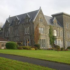
Coomb Cheshire Home
1.5 km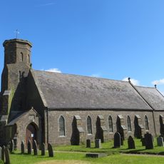
Holy Trinity Church
3.1 km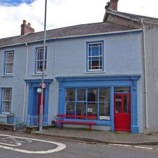
The Stores
4.9 km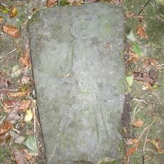
Pilgrim's Graves S Of Ruins Of St Michaels Church
4.3 km
Nolands, including forecourt railings.
4.8 km
Cartref
4.9 km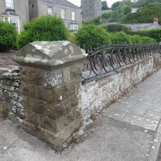
Railings and area walls at Plas-y-Coed and Park Villa
5 km
Bethel Welsh Independent Chapel
4.6 km
Plas-y-Coed
5 km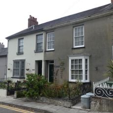
Osbourne House, including area railings
5 km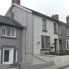
Cyncoed, including area railings
5 km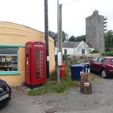
Telephone call-box outside the Old Pound
4.9 kmReviews
Visited this place? Tap the stars to rate it and share your experience / photos with the community! Try now! You can cancel it anytime.
Discover hidden gems everywhere you go!
From secret cafés to breathtaking viewpoints, skip the crowded tourist spots and find places that match your style. Our app makes it easy with voice search, smart filtering, route optimization, and insider tips from travelers worldwide. Download now for the complete mobile experience.

A unique approach to discovering new places❞
— Le Figaro
All the places worth exploring❞
— France Info
A tailor-made excursion in just a few clicks❞
— 20 Minutes