Former Fosters Primary School, building in Bexley, Greater London, UK
Location: London Borough of Bexley
GPS coordinates: 51.46521,0.11001
Latest update: June 15, 2024 18:00
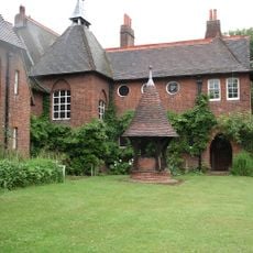
Red House
1.8 km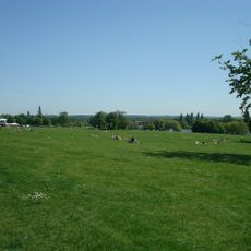
Danson Park
1.1 km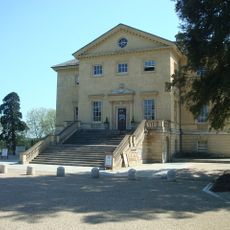
Danson House
1.1 km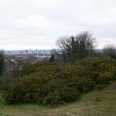
Winn's Common
2.1 km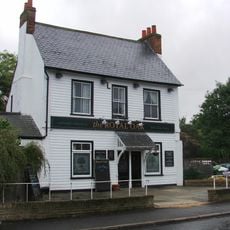
The Royal Oak Public House
1.9 km
Outhouse To North East Of Red House
1.8 km
The Green
1.5 km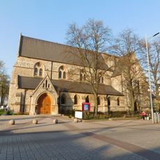
Christ Church Parish Church
2.3 km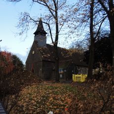
Greek Orthodox Church
822 m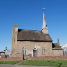
Chapel House
2 km
Burial mound on Winns Common, Plumstead
2 km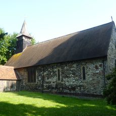
St Michael's
771 m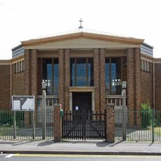
St Peter's
1.8 km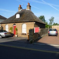
8, Upton Road
1.7 km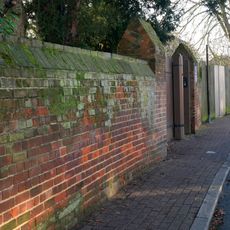
Street Wall And Gateway To North Of Red House
1.7 km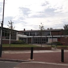
Slade Centre Library
2.3 km
Jays Cottages
2.1 km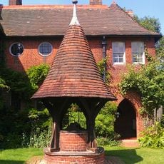
Well Head To South East Of Red House
1.8 km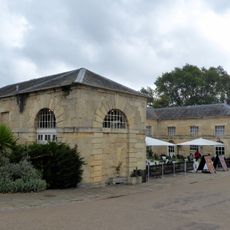
Stables To Danson Park
960 m
Wye Lodge
2.2 km
East Wickham Farmhouse
724 m
Edward Alderton Theatre
1.2 km
Welling Kinema
614 m
71, Danson Road
1.6 km
Bexleyheath War Memorial
2.2 km
Bexleyheath Golf Club
2.3 km
The Crook Log Public House
1.3 km
Odeon Welling
413 mReviews
Visited this place? Tap the stars to rate it and share your experience / photos with the community! Try now! You can cancel it anytime.
Discover hidden gems everywhere you go!
From secret cafés to breathtaking viewpoints, skip the crowded tourist spots and find places that match your style. Our app makes it easy with voice search, smart filtering, route optimization, and insider tips from travelers worldwide. Download now for the complete mobile experience.

A unique approach to discovering new places❞
— Le Figaro
All the places worth exploring❞
— France Info
A tailor-made excursion in just a few clicks❞
— 20 Minutes