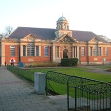
London Borough of Bexley, Administrative borough in southeastern Greater London, England
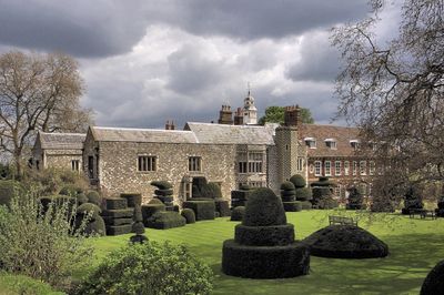
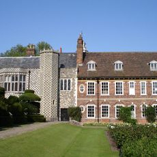
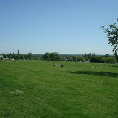
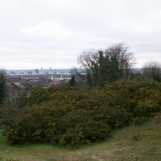
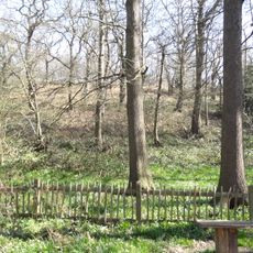
The London Borough of Bexley is an administrative district in southeastern Greater London that sits between the River Thames and the Kent border. The area combines residential estates with terraced houses and council blocks alongside parks and public green spaces that follow smaller rivers through the borough.
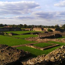
The borough was formed in 1965 by merging several former towns that had existed as rural villages for centuries. The expansion of London railways and suburban lines during the 1920s and 1930s turned the countryside into commuter territory.
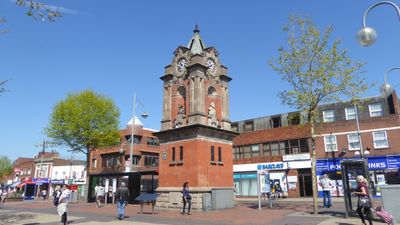
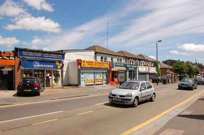
The name Bexley comes from old English words meaning a clearing where box trees grew, though the area now features streets lined with cherry trees that blossom in spring. Local shopping parades mix chain stores with family-run bakeries and newsagents that have served the same customers for decades.
Main roads run north to south connecting the different residential areas to local centers and train stations. Buses operate frequently during the day with reduced connections in the evening and on weekends.
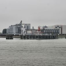
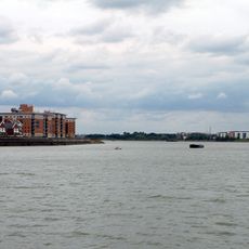
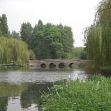
The Thames forms the northern edge and can be walked along the foreshore at low tide, with mud exposing old jetty posts and foundations. Victorian pillars still stand in the water at some points where landing piers once stood.
The community of curious travelers
AroundUs brings together thousands of curated places, local tips, and hidden gems, enriched daily by 60,000 contributors worldwide.