
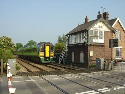
Sudbury Crossing Signal Box, signal box in Draycott in the Clay, East Staffordshire, Staffordshire, UK
Location: Draycott in the Clay
GPS coordinates: 52.87319,-1.75998
Latest update: March 4, 2025 04:54
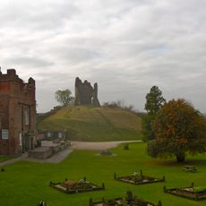
Tutbury Castle
4.9 km
Sudbury Hall
1.5 km
National Trust
1.5 km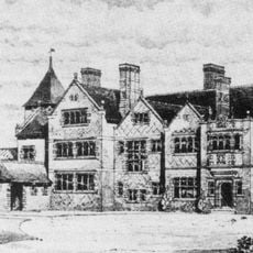
Brocksford Hall
4.3 km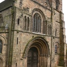
Church of St Mary
5.1 km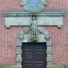
St Peter's Church, Marchington
2.5 km
Church of All Saints, Sudbury
1.6 km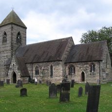
Church of St Paul
3.1 km
Church of St Werburgh
2.9 km
Tutbury War Memorial
5.1 km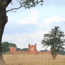
Folly Or Deercote In Park
2.1 km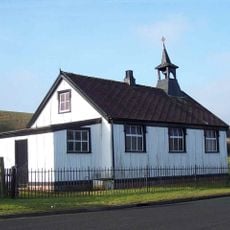
St Augustine's Church
2.5 km
Fauld Hall
2.8 km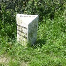
Milepost At Sk 163 257
4.9 km
RAF Fauld Explosion Crater
3.5 km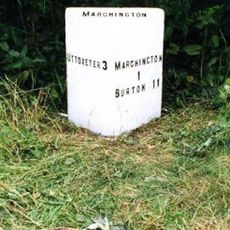
Milepost Outside Lower Brook House
4.4 km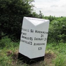
Milepost At Ngr Sk 15042733
3.6 km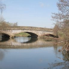
Aston Bridge
462 m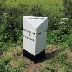
Milepost At Ngr Sk 13113009
3.2 km
Milepost, south of Six Lane Ends
3.8 km
Milepost At Ngr Sk 14182913
2.6 km
1, Castle Street
5.1 km
Milepost Outside 32 Swan Lane
2 km
Milepost, near Swan PH
2 km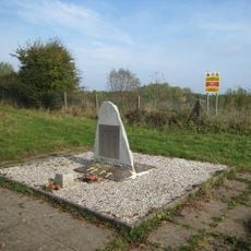
RAF Fauld Explosion Memorial at the Fauld Crater
3.6 km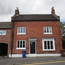
5, Monk Street
5.2 km
Manor House
5.2 km
Milepost, Birch Cross
4.4 kmReviews
Visited this place? Tap the stars to rate it and share your experience / photos with the community! Try now! You can cancel it anytime.
Discover hidden gems everywhere you go!
From secret cafés to breathtaking viewpoints, skip the crowded tourist spots and find places that match your style. Our app makes it easy with voice search, smart filtering, route optimization, and insider tips from travelers worldwide. Download now for the complete mobile experience.

A unique approach to discovering new places❞
— Le Figaro
All the places worth exploring❞
— France Info
A tailor-made excursion in just a few clicks❞
— 20 Minutes