
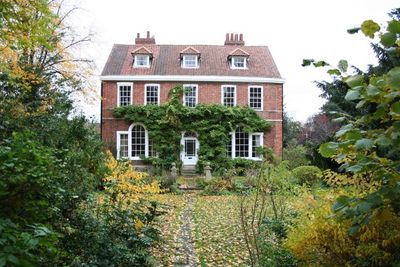
The Vicarage, clergy house in Grantham, Lincolnshire, UK
Location: Grantham
Location: South Kesteven
GPS coordinates: 52.91545,-0.64184
Latest update: March 24, 2025 19:23
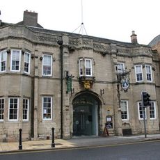
Angel and Royal Hotel
323 m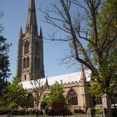
St Wulfram's Church, Grantham
105 m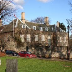
Grantham House
131 m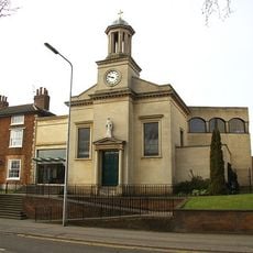
Roman Catholic Church of St Mary
268 m
Blue Pig Inn
151 m
1 and 2, Church Street
90 m
38A, Church Trees
93 m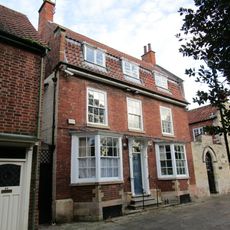
41, Church Trees
77 m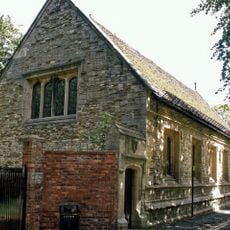
King's School ('old School' Fronting Church Street)
67 m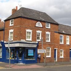
2, 4 And 6, North Parade
224 m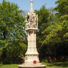
Grantham War Memorial
57 m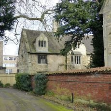
School House (headmaster's Residence)
60 m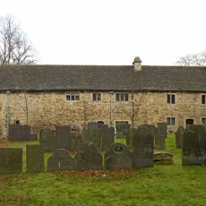
Stables, Grantham House
114 m
15, Eimer Street North
178 m
Bow House
242 m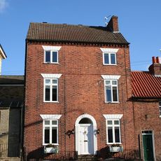
24, North Parade
260 m
21A And 21B, Swingate
98 m
Granta Hall
301 m
Vine House
160 m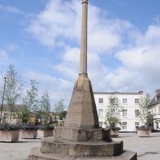
Grantham market cross
294 m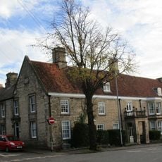
8, Albion Street
143 m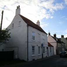
46, Castlegate
203 m
5, Market Place
300 m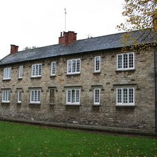
Hurst's Almshouses
68 m
Stable To Vine House (Between Nos 11 And 13)
188 m
Castlegate House
236 m
3-11, North Parade
275 m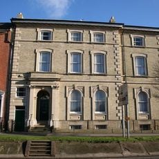
North House And Left Hand Section Of Premises Occupied By Electricity Board
273 mReviews
Visited this place? Tap the stars to rate it and share your experience / photos with the community! Try now! You can cancel it anytime.
Discover hidden gems everywhere you go!
From secret cafés to breathtaking viewpoints, skip the crowded tourist spots and find places that match your style. Our app makes it easy with voice search, smart filtering, route optimization, and insider tips from travelers worldwide. Download now for the complete mobile experience.

A unique approach to discovering new places❞
— Le Figaro
All the places worth exploring❞
— France Info
A tailor-made excursion in just a few clicks❞
— 20 Minutes