
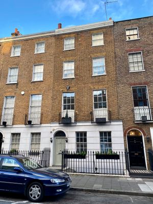
52, Upper Montagu Street W1, City of Westminster, Greater London, W1H
Location: City of Westminster
Address: 52, Upper Montagu Street W1, City of Westminster, Greater London, W1H
GPS coordinates: 51.52071,-0.16056
Latest update: March 9, 2025 22:57

Marylebone Town Hall
79 m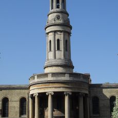
St Mary's, Bryanston Square
124 m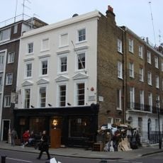
Duke of Wellington
165 m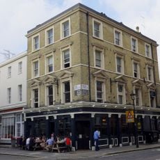
Royal Oak Public House
150 m
54, Upper Montagu Street W1
5 m
29-31, Knox Street W1
56 m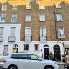
28, Upper Montagu Street W1
92 m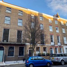
12-16, Upper Montagu Street W1
156 m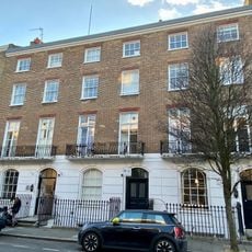
15-19, Upper Montagu Street W1
143 m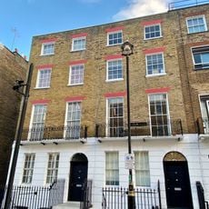
39 And 41, York Street W1
67 m
56-62, Upper Montagu Street W1
19 m
49 And 51, Upper Montagu Street W1
36 m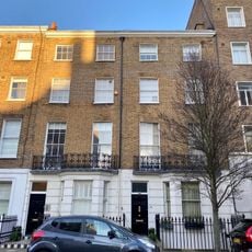
6 And 8, Upper Montagu Street W1
179 m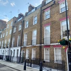
26-34, Wyndham Street W1
108 m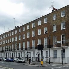
25-37, Upper Montagu Street W1
86 m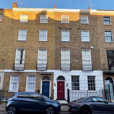
18 And 20, Upper Montagu Street W1
141 m
52, York Street W1
34 m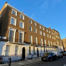
32-40, York Street W1
63 m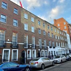
43-47, Upper Montagu Street W1
30 m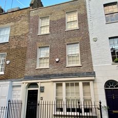
25, Knox Street W1
47 m
41, Upper Montagu Street W1
28 m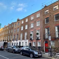
42-50, Upper Montagu Street W1
17 m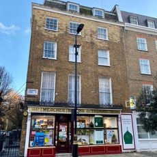
105A, Crawford Street W1
131 m
7-15, Balcombe Street
170 m
7-11, Upper Montagu Street W1
167 m
10, Upper Montagu Street W1
169 m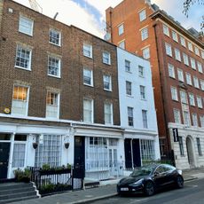
53-57, Upper Montagu Street W1
46 m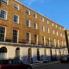
42-50, York Street W1
40 mVisited this place? Tap the stars to rate it and share your experience / photos with the community! Try now! You can cancel it anytime.
Discover hidden gems everywhere you go!
From secret cafés to breathtaking viewpoints, skip the crowded tourist spots and find places that match your style. Our app makes it easy with voice search, smart filtering, route optimization, and insider tips from travelers worldwide. Download now for the complete mobile experience.

A unique approach to discovering new places❞
— Le Figaro
All the places worth exploring❞
— France Info
A tailor-made excursion in just a few clicks❞
— 20 Minutes