
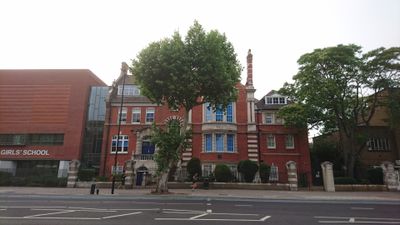
Central Foundation Girls School, building in Tower Hamlets, Greater London, UK
Location: London Borough of Tower Hamlets
GPS coordinates: 51.52685,-0.02849
Latest update: March 6, 2025 12:46
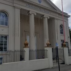
Mile End And Bow District Synagogue
187 m
26 Tredegar Square
288 m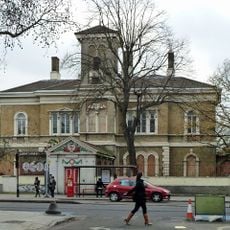
St Clements Hospital
155 m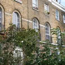
69-95, Bow Road E3
264 m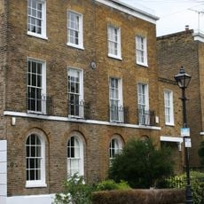
34 And 35, Coborn Street E3
86 m
27-41, Morgan Street E3
235 m
32 And 33, Coborn Street E3
98 m
24 And 25, Coborn Street E3
153 m
36 And 37, Coborn Street E3
74 m
44-52, Coborn Road E3
200 m
53-64, Tredegar Square E3
231 m
439-455, Mile End Road E1
237 m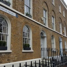
7-22, Tredegar Square E3
232 m
Front Wall, Gate Piers And Gates At St Clements Hospital
132 m
Poplar Chest Clinic 1 Wellington Way
259 m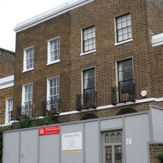
26 And 27, Coborn Street E3
139 m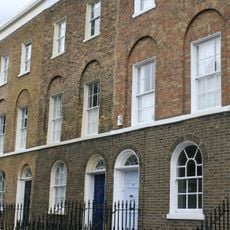
Numbers 1 To 6 And Area Railings To Numbers 2 To 6
181 m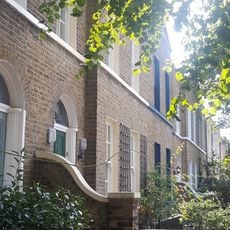
20-28, Coborn Road E3
128 m
5, Wellington Way E3
273 m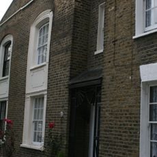
15-41, Coborn Road E3
151 m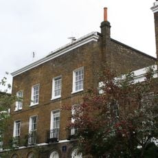
28-31, Coborn Street E3
115 m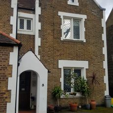
3, Wellington Way E3
264 m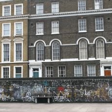
K6 Telephone Kiosk, Outside 38 Bow Road
180 m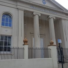
Gate Piers, Gates And Railings At Mile End And Bow District Synagogue
194 m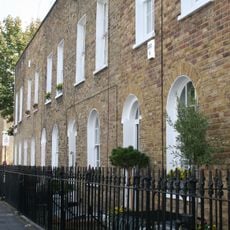
10-20, Morgan Street E3
197 m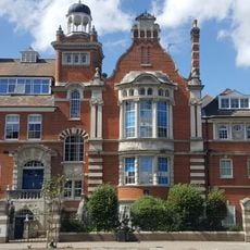
Gate Piers And Railings At Coborn School For Girls
17 m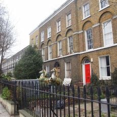
3-23, Bow Road E3
80 m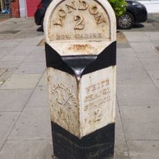
Milepost, Bow Road E3, opp. Wellington Way
182 mVisited this place? Tap the stars to rate it and share your experience / photos with the community! Try now! You can cancel it anytime.
Discover hidden gems everywhere you go!
From secret cafés to breathtaking viewpoints, skip the crowded tourist spots and find places that match your style. Our app makes it easy with voice search, smart filtering, route optimization, and insider tips from travelers worldwide. Download now for the complete mobile experience.

A unique approach to discovering new places❞
— Le Figaro
All the places worth exploring❞
— France Info
A tailor-made excursion in just a few clicks❞
— 20 Minutes