
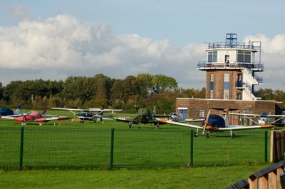
Control Tower At Barton Aerodrome, building in Salford, Greater Manchester, UK
Location: Salford
Part of: Manchester City Airport & Heliport
GPS coordinates: 53.47082,-2.38719
Latest update: March 12, 2025 15:56
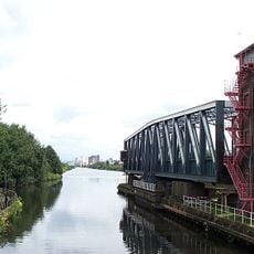
Barton Swing Aqueduct
2.4 km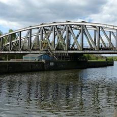
Barton Road Swing Bridge
2.3 km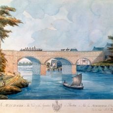
Barton Aqueduct
2.4 km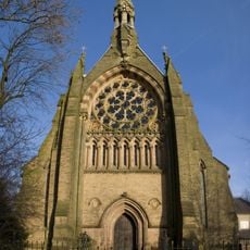
All Saints' Church, Urmston
2.3 km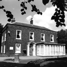
Flixton House
2.8 km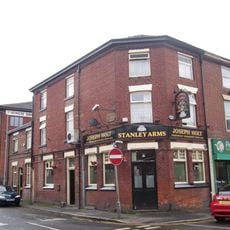
Stanley Arms
2.3 km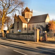
Church of St Mary The Virgin
2.1 km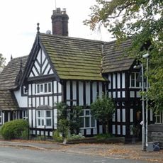
The Old Nick
3.2 km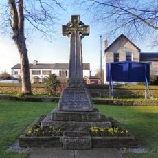
War Memorial in St Mary's Churchyard, Davyhulme
2 km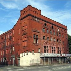
Crown Theatre
3.2 km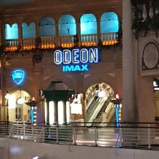
Odeon Trafford Centre
2.6 km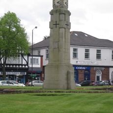
Davyhulme Circle War Memorial
2.5 km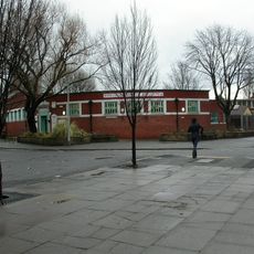
Winton Library
2.4 km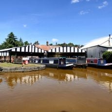
Dry Docks Behind Worsley Green
3.1 km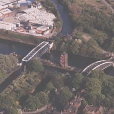
Barton Bridge, Barton Aqueduct and Control Tower
2.3 km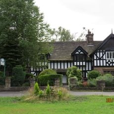
150-153, The Green
3.2 km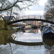
Bridgewater Canal Footbridge between Barton Road and The Green
3.1 km
All Saints' Presbytery
2.3 km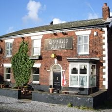
Queens Arms
2.5 km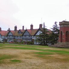
140–145, The Green
3.2 km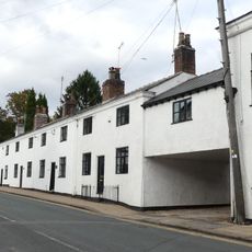
10–16, Barton Road
3.2 km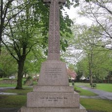
Urmston Memorial Cross
3.1 km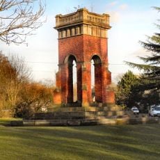
Fountain
3.2 km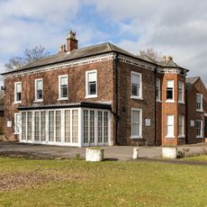
Flixton House And Outbuilding Adjoining Immediately North Of Flixton House
2.8 km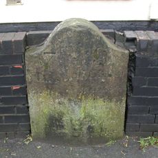
Milestone, Worsley Road, Winton, by No. 405,
2.5 km
The Spirit of New Orleans
2.6 km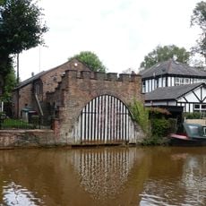
Boat house to west of The Green
3.2 km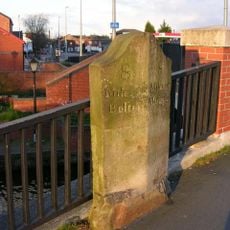
Milestone, Worsley Road
2.1 kmReviews
Visited this place? Tap the stars to rate it and share your experience / photos with the community! Try now! You can cancel it anytime.
Discover hidden gems everywhere you go!
From secret cafés to breathtaking viewpoints, skip the crowded tourist spots and find places that match your style. Our app makes it easy with voice search, smart filtering, route optimization, and insider tips from travelers worldwide. Download now for the complete mobile experience.

A unique approach to discovering new places❞
— Le Figaro
All the places worth exploring❞
— France Info
A tailor-made excursion in just a few clicks❞
— 20 Minutes