
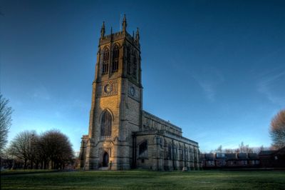
Church of St Thomas, church building in Bury, Greater Manchester, UK
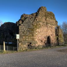
Radcliffe Tower
1.1 km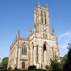
All Saints' Church, Whitefield
2.2 km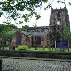
Parish Church of St Mary, Radcliffe
1.3 km
St Saviour's Church, Ringley
2.8 km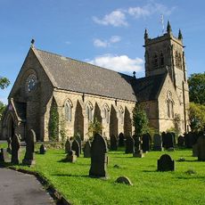
St Matthew's Church, Little Lever
3.1 km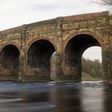
Prestolee Aqueduct
3.4 km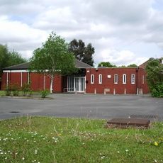
Sha'arei Shalom
2.2 km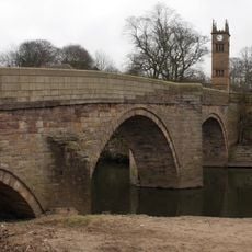
Ringley Old Bridge
2.9 km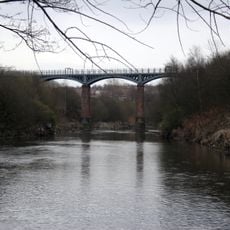
Outwood Viaduct
608 m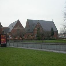
Besses United Reformed Church
3.2 km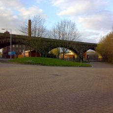
Daisyfield Viaduct
3.3 km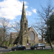
Church of Saint Andrew
1.6 km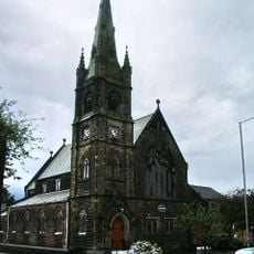
Stand United Reformed Church
1.4 km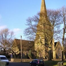
Church of the Holy Trinity
3.3 km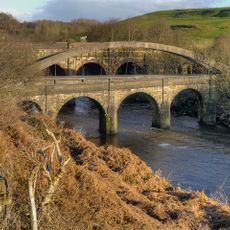
Prestolee Bridge
3.5 km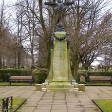
War Memorial
2.2 km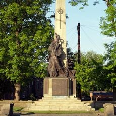
Radcliffe Cenotaph
173 m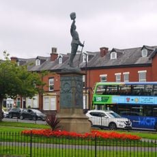
Lancashire Fusiliers Boer War Memorial
3.5 km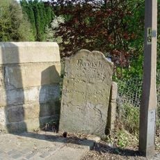
Boundary Stone To West Of Ringley Old Bridge
2.9 km
Bury Cemetery War Memorial
3 km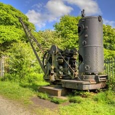
Mount Sion Steam Crane, Adjacent To The Manchester Bolton And Bury Canal
1.8 km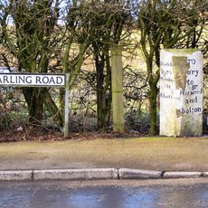
Finger Post At Sd 775 104
3.3 km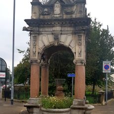
Drinking Fountain And Horse Trough
3.4 km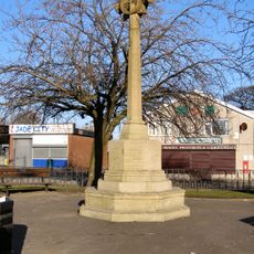
Unsworth War Memorial
3.5 km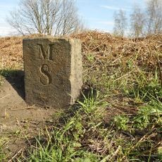
Manchester Bolton And Bury Canal Milestone Approximatley 60 Metres East Of Prestolee Road
3.2 km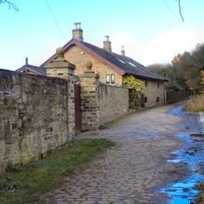
Ladyshore House
2.2 km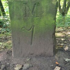
Manchester, Bolton And Bury Canal Milestone Approximatley 180 Metres North West Of Kearsley Road
2.8 km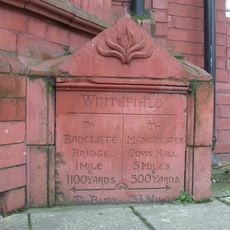
Milestone, Bury New Road
2.7 kmVisited this place? Tap the stars to rate it and share your experience / photos with the community! Try now! You can cancel it anytime.
Discover hidden gems everywhere you go!
From secret cafés to breathtaking viewpoints, skip the crowded tourist spots and find places that match your style. Our app makes it easy with voice search, smart filtering, route optimization, and insider tips from travelers worldwide. Download now for the complete mobile experience.

A unique approach to discovering new places❞
— Le Figaro
All the places worth exploring❞
— France Info
A tailor-made excursion in just a few clicks❞
— 20 Minutes