
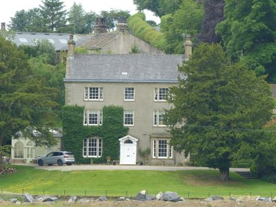
Bank Hall, house in Grindleton, Ribble Valley, Lancashire, UK
Location: Grindleton
Inception: 1780
GPS coordinates: 53.91278,-2.34849
Latest update: March 3, 2025 19:41
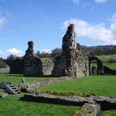
Sawley Abbey
597 m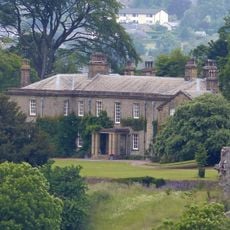
Downham Hall
2.3 km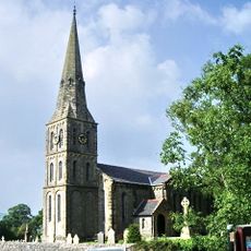
Christ Church, Chatburn
2.1 km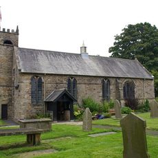
St Ambrose's Church, Grindleton
1.2 km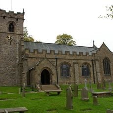
St Leonard's Church, Downham
2.4 km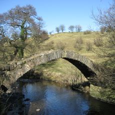
Swanside Bridge
1.6 km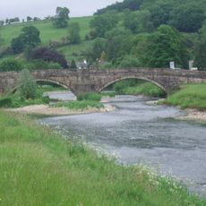
Sawley Bridge
373 m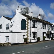
Spread Eagle Hotel
498 m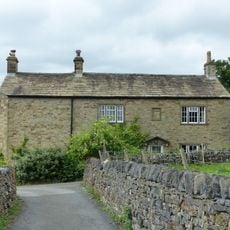
7 Top Row
2.4 km
Building on east side of yard at Home Farm, north west of Downham Hall
2.3 km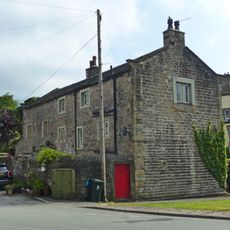
Manor House Cottage and Manor House Barn
2.3 km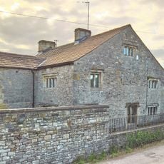
Laneside Farmhouse
1.1 km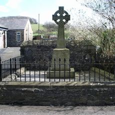
Sawley War Memorial, Lancashire
419 m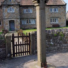
Bolton Peel Cross
2.3 km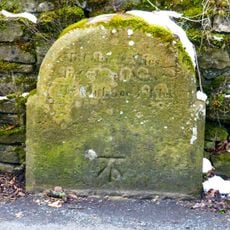
Milestone at west side of road, near junction with Chatburn Road
2.2 km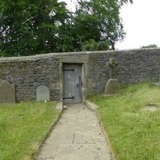
Door and surround in garden wall, Downham Hall, approximately 10 metres south west of church tower
2.4 km
6, Downham Road
2.2 km
Friend's Meeting House and house adjoining to south west
346 m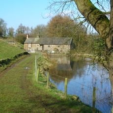
Downham Mill
2.2 km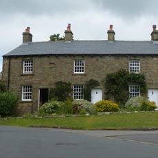
2, 3 and 4 Top Row
2.4 km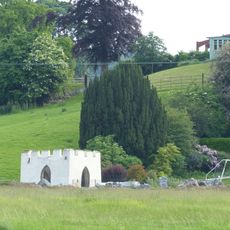
Gazebo, 50 Metres South East Of Bank Hall
61 m
Milestone At Sd 78554653
1.4 km
Sawley Grange Farmhouse and barn adjoining to east
2.1 km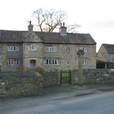
Bolton Peel Farmhouse
2.3 km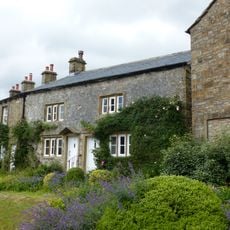
5 and 6 Top Row
2.4 km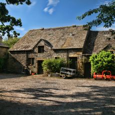
Barn to Home Farm, north west of Downham Hall, and stable in same range to east
2.2 km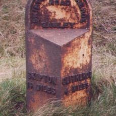
Milestone, ExYW N of Sawley on verge between 2 FP signs
1.3 km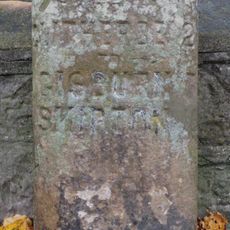
Milestone, Sawley Road, by Christ Church wall
2.1 kmVisited this place? Tap the stars to rate it and share your experience / photos with the community! Try now! You can cancel it anytime.
Discover hidden gems everywhere you go!
From secret cafés to breathtaking viewpoints, skip the crowded tourist spots and find places that match your style. Our app makes it easy with voice search, smart filtering, route optimization, and insider tips from travelers worldwide. Download now for the complete mobile experience.

A unique approach to discovering new places❞
— Le Figaro
All the places worth exploring❞
— France Info
A tailor-made excursion in just a few clicks❞
— 20 Minutes