
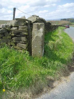
Milestone at Four Lane Ends at SD 815427, Grade II listed milestone in the parish of Downham, Ribble Valley, Lancashire, BB7
Location: Downham
Inception: 18 century
GPS coordinates: 53.88040,-2.28152
Latest update: April 4, 2025 09:05
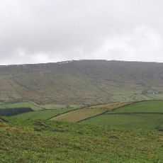
Pendle Hill
1.7 km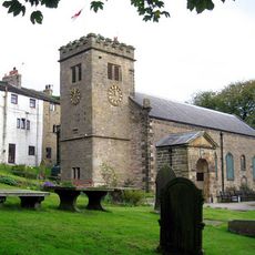
St Mary's Church
3.4 km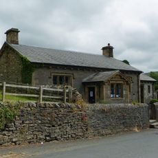
Downham Church of England School
3.4 km
16-20, Newchurch Street
3.3 km
22, Newchurch Street
3.3 km
35 Chapel Brow
3.2 km
36 and 37 Chapel Brow
3.2 km
Barley Green Cottage Barley Green Cottages Barley Green Farmhouse Barley Green House
2.6 km
Fir Tree House
3.3 km
Bridge approximately 15 metres south west of Fir Tree House
3.3 km
Old Well Hall
3.3 km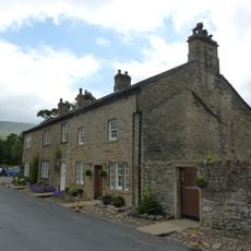
45
3.4 km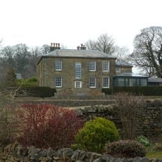
The Lidgett House
3.4 km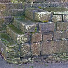
Mounting Steps Adjoining Boundary Wall To South West Of St Mary's Vicarage
3.5 km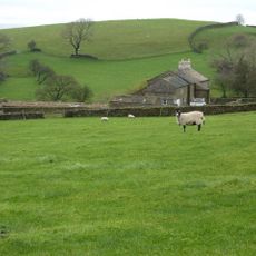
Hollins Farmhouse and barn adjoining to south west
1.7 km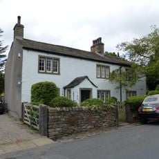
The White House
3.4 km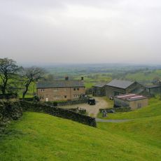
Heckiln Farmhouse
1.4 km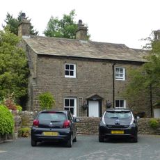
Greengates
3.2 km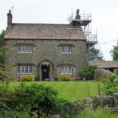
Clay House Farmhouse
2.3 km
Whitehough House, Farmhouse And Outbuildings
2.8 km
Barn approximately 15 metres north of Fir Tree House
3.3 km
Village Hall
3.2 km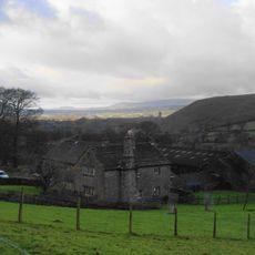
Hook Cliffe Farmhouse and farm building adjoining to west
2.8 km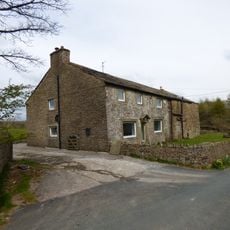
Lower Black Moss Farmhouse And Barn Abutting To East
1.7 km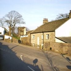
The Vicarage
3.5 km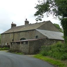
Laneside Farmhouse and barn adjoining to west
3 km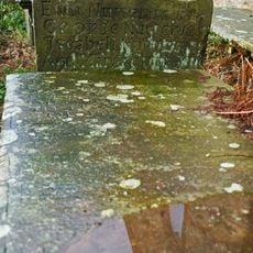
Nutter Headstone 2 Metres South Of Church Of St Mary
3.4 km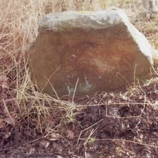
Guidestone, Lower Gate
1.8 kmReviews
Visited this place? Tap the stars to rate it and share your experience / photos with the community! Try now! You can cancel it anytime.
Discover hidden gems everywhere you go!
From secret cafés to breathtaking viewpoints, skip the crowded tourist spots and find places that match your style. Our app makes it easy with voice search, smart filtering, route optimization, and insider tips from travelers worldwide. Download now for the complete mobile experience.

A unique approach to discovering new places❞
— Le Figaro
All the places worth exploring❞
— France Info
A tailor-made excursion in just a few clicks❞
— 20 Minutes