
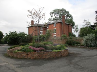
Nurton Court, building in Middleton on the Hill, County of Herefordshire, UK
Location: Middleton on the Hill
GPS coordinates: 52.28123,-2.67398
Latest update: March 3, 2025 14:37
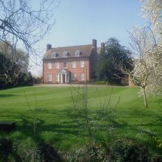
Eye Manor
4.7 km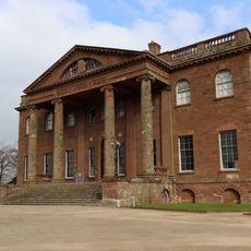
Berrington Hall
3.4 km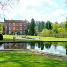
Burford House
5.1 km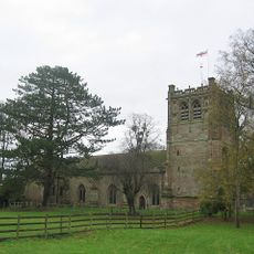
St Mary's Church, Burford
5.2 km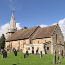
Church of St George
5.2 km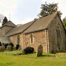
Church of St Andrew
3.2 km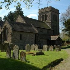
Church of St Peter and St Paul
4.6 km
Church of St Michael and All Angels
4.2 km
Church of St Mary Magdalene
3.3 km
Church of St Michael
2.9 km
Church of St James
3.7 km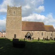
Church of St Mary
398 m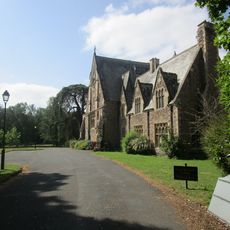
St Michael's College And Adjoining Cloister
4.2 km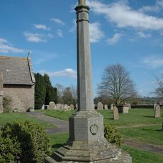
Kimbolton War Memorial
3.7 km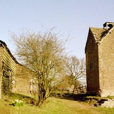
Dovecot Approximately 20 Metres South West Of Upper Bache Farmhouse
4.7 km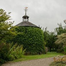
Dovecot at Stockton Bury
4.7 km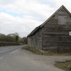
Barn About 10 Metres North Of Comberton Farmhouse
5.2 km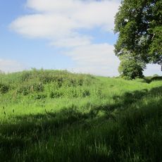
Castle mound, Laysters
3.2 km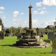
Churchyard cross in St George's churchyard
5.1 km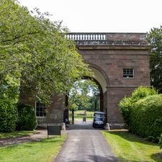
The Garden Lodge Approximately 150 Metres East Of Berrington Hall
3.3 km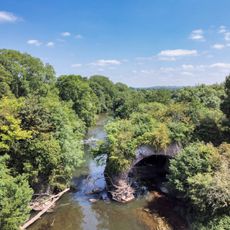
Teme Aqueduct At Ngr So 5368 6878 (That Part In Richards Castle Cp)
3.8 km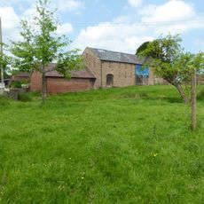
Barn And Adjoining Outbuilding About 25 Yards South-East Of Lower Town Farmhouse
3.4 km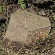
Milepost, W of Chestnut Cottage
4 km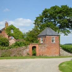
Summerhouse Approximately 30 Metres South East Of Middleton Farmhouse
361 m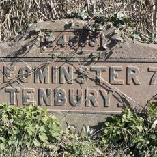
Milestone, N of Cadmore Bridge, St Michaels; 10m from de-restriction sign
4.1 km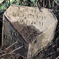
Milepost, The Oaklands
3.4 km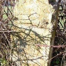
Milepost, Raddle Farm Bank
2.9 km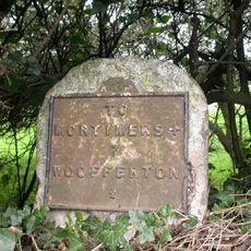
Milestone, Woofferton; 15m E Turnpike Cottage
4.3 kmVisited this place? Tap the stars to rate it and share your experience / photos with the community! Try now! You can cancel it anytime.
Discover hidden gems everywhere you go!
From secret cafés to breathtaking viewpoints, skip the crowded tourist spots and find places that match your style. Our app makes it easy with voice search, smart filtering, route optimization, and insider tips from travelers worldwide. Download now for the complete mobile experience.

A unique approach to discovering new places❞
— Le Figaro
All the places worth exploring❞
— France Info
A tailor-made excursion in just a few clicks❞
— 20 Minutes