
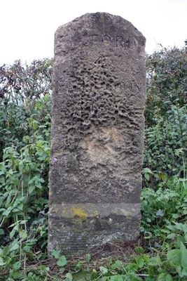
Milestone At National Grid Reference Sp4626 0274, milestone in Cumnor, Vale of White Horse, Oxfordshire, UK
Location: Cumnor
Inception: 18 century
GPS coordinates: 51.72150,-1.33169
Latest update: March 7, 2025 03:03
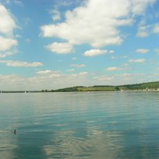
Farmoor Reservoir
3.1 km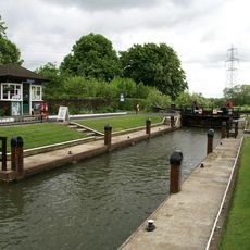
Northmoor Lock
3.2 km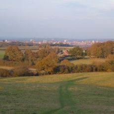
Midvale Ridge
3.8 km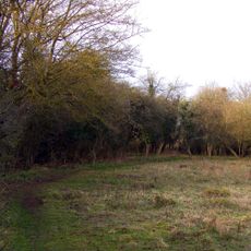
Lashford Lane Fen
1.7 km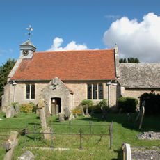
Church of St Peter
1.9 km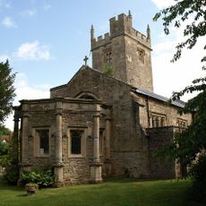
Church of St Leonard
4 km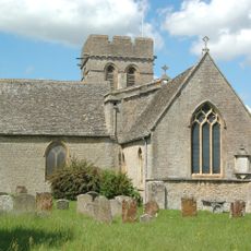
Church of St Michael
1.4 km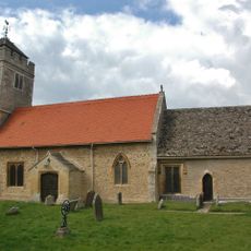
Church of St Lawrence, Appleton
2.2 km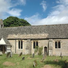
Church of St Lawrence, Besselsleigh
1.8 km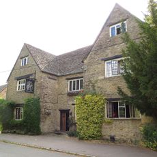
Bear And Ragged Staff Inn
1.4 km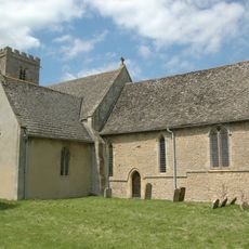
Church of St Denys
4.1 km
St Peter and St Paul
4 km
Appleton Manor
2.3 km
Chilswell Farmhouse
3.2 km
The Old Manor
4.1 km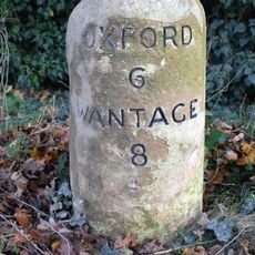
Milestone at SU 4485 9935
3.6 km
Rectory Farm, Barn Approximately 60 Metres North North East Of Farmhouse
4.1 km
Bradley Farmhouse
550 m
Sunningwell House
4 km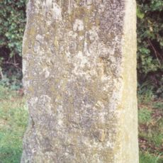
Milestone At National Grid Reference Sp4608 0648
3.7 km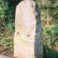
Milestone At National Grid Reference Sp4754 0590
3.4 km
Henwood Farm,Dovecote And Stable Approximately 15 Metres North West Of Farmhouse
1 km
Well House,approximately 160 Metres South East Of The Fold
4 km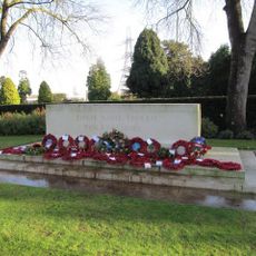
Botley Cemetery Stone of Remembrance
4.2 km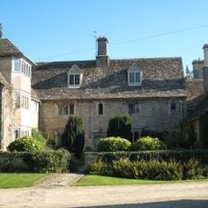
Rectory Farmhouse
4.1 km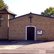
Our Lady Of The Rosary Catholic Church, Botley Oxford
3.9 km
Milestone, Tubney Warren, 200m W of turn to Appleton (Oaksmere)
2.9 km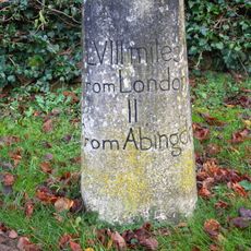
Milestone, Gozzards Ford; by Black Horse PH, opp. jct. with Black Horse Lane
4.1 kmReviews
Visited this place? Tap the stars to rate it and share your experience / photos with the community! Try now! You can cancel it anytime.
Discover hidden gems everywhere you go!
From secret cafés to breathtaking viewpoints, skip the crowded tourist spots and find places that match your style. Our app makes it easy with voice search, smart filtering, route optimization, and insider tips from travelers worldwide. Download now for the complete mobile experience.

A unique approach to discovering new places❞
— Le Figaro
All the places worth exploring❞
— France Info
A tailor-made excursion in just a few clicks❞
— 20 Minutes