Northmoor Lock, Navigation lock on the River Thames in Oxfordshire, England
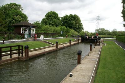
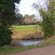
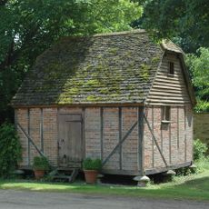
Northmoor Lock is a navigation lock on the River Thames in Oxfordshire that controls water flow along this section of the river. The facility consists of the lock chamber and an adjacent weir that work together to manage water levels.
The lock was built in 1896 by the Thames Conservancy to replace an earlier flash lock at Hart's Weir located upstream. Its construction was part of 19th-century efforts to modernize the Thames lock system.
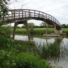
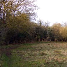
The lock forms an integral part of the Thames Path, a National Trail that follows the entire length of the River Thames through the English countryside
Access is best via the Thames Path, the walking route that runs along the entire river. The route passes through open countryside, so visitors should be prepared for changing weather and wear sturdy shoes.
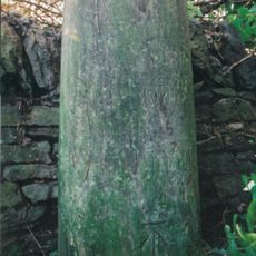
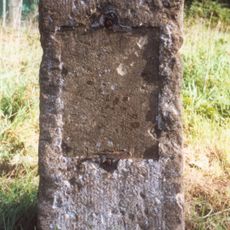
The adjacent weir features one of the last remaining manual paddle and lever systems for water control still operating on the Thames. This historic mechanical design offers visitors a glimpse into how river navigation was managed in earlier times.
Location: Oxfordshire
GPS coordinates: 51.71600,-1.37754
Latest update: December 14, 2025 18:45
Devil's Quoits
3.3 km
New Bridge
2.8 km
Hart's Weir Footbridge
1.5 km
St Giles' Church, Standlake
3.7 km
Frilford Heath, Ponds and Fens
3.9 km
Lashford Lane Fen
3.8 km
Church of St Michael, Stanton Harcourt
3.8 km
Church of St Lawrence
2.9 km
Church of St Michael
3.7 km
Church of St Lawrence, Besselsleigh
2.7 km
Church of St Lawrence, Appleton
1.4 km
Church of St Nicholas
3.3 km
Church of St Denys
1.3 km
Bear And Ragged Staff Inn
3.4 km
Milestone Approximately 20 Metres South East Of Church Of St Lawrence
2.9 km
Pope's Tower Approximately 35 Metres South East Of Harcourt House
3.8 km
Appleton Manor
1.4 km
Manor Farmhouse
3.4 km
Milestone Approximately 28 Metres West South West Of Crossways
3.5 km
Milestone at SU 4485 9935
3.2 km
The Manor House
3.3 km
Harcourt House And Attached Walls And Outbuildings
3.9 km
Bradley Farmhouse
3.6 km
Rectory Farmhouse
1.2 km
Rectory Farm, Barn Approximately 60 Metres North North East Of Farmhouse
1.2 km
Milestone At National Grid Reference Sp4626 0274
3.2 km
Milestone, Tubney Farm, opp. church turn
3.4 km
Milestone, Tubney Warren, 200m W of turn to Appleton (Oaksmere)
2.4 kmVisited this place? Tap the stars to rate it and share your experience / photos with the community! Try now! You can cancel it anytime.
Discover hidden gems everywhere you go!
From secret cafés to breathtaking viewpoints, skip the crowded tourist spots and find places that match your style. Our app makes it easy with voice search, smart filtering, route optimization, and insider tips from travelers worldwide. Download now for the complete mobile experience.
A unique approach to discovering new places❞
— Le Figaro
All the places worth exploring❞
— France Info
A tailor-made excursion in just a few clicks❞
— 20 Minutes