
Clay Cross, town and civil parish in North East Derbyshire, England
Location: North East Derbyshire
Shares border with: Wingerworth, Ashover, Stretton, Pilsley, Tupton, North Wingfield
Website: http://claycross.gov.uk
GPS coordinates: 53.16370,-1.41280
Latest update: March 6, 2025 21:19
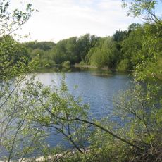
Ogston Reservoir
3.4 km
The Elms
2.5 km
Church of St Lawrence
1.7 km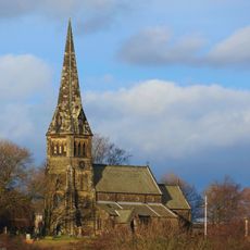
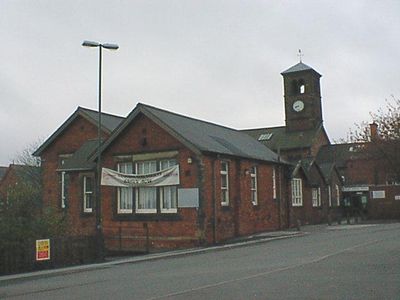
St Bartholomew’s Church, Clay Cross
288 m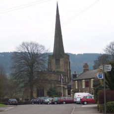
Church of All Saints
4.5 km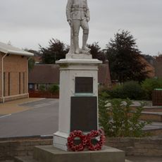
Danesmoor War Memorial
902 m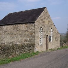
Ashover Hay Primitive Methodist Chapel
4.1 km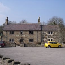
The Miners Arms Public House
4.1 km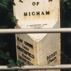
Mile Post Opposite Hilltop Farmhouse
2.1 km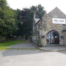
Blue Bell Inn
1.8 km
Stubben Edge Cottage
3.4 km
Monument To South Of Cemetery Chapels
453 m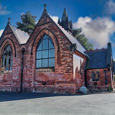
Cemetery Chapels
450 m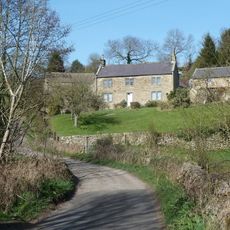
Dale Cottage Farmhouse
3.7 km
K6 telephone kiosk north of West Bank
4.5 km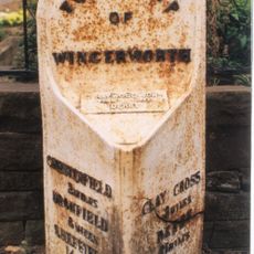
Milepost At Sk 388 674
4.3 km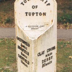
Milepost
2.7 km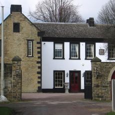
The Manor House
1.8 km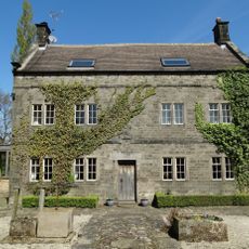
Holmgate House
2 km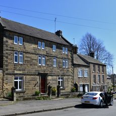
West Bank, attached wall and gate piers, and attached outbuilding to south
4.5 km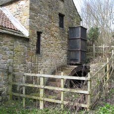
Fallgate Mill
4 km
Pound to the south of the Miners Arms
4.1 km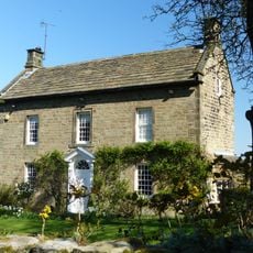
West View
4 km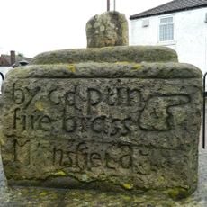
Old Cross
2.4 km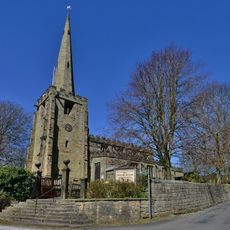
Gatepiers And Steps To The South Of Church Of All Saints
4.5 km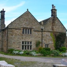
Manor House Farmhouse
4.2 km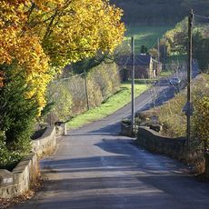
Three Bridges At Smithymoor Nr Stretton Station
1.8 km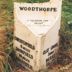
Milepost, N of Clay Cross
1 kmReviews
Visited this place? Tap the stars to rate it and share your experience / photos with the community! Try now! You can cancel it anytime.
Discover hidden gems everywhere you go!
From secret cafés to breathtaking viewpoints, skip the crowded tourist spots and find places that match your style. Our app makes it easy with voice search, smart filtering, route optimization, and insider tips from travelers worldwide. Download now for the complete mobile experience.

A unique approach to discovering new places❞
— Le Figaro
All the places worth exploring❞
— France Info
A tailor-made excursion in just a few clicks❞
— 20 Minutes