
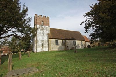
Church of All Saints, church in Petham, Kent, UK
Location: Petham
Inception: 13 century
GPS coordinates: 51.22060,1.04969
Latest update: March 2, 2025 20:15
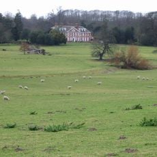
Bourne Park House
5.4 km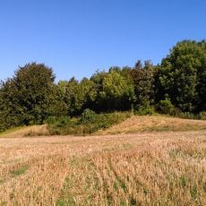
Julliberrie's Grave
5.7 km
Reed Mill
4.5 km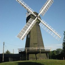
Davison's Mill, Stelling Minnis
5 km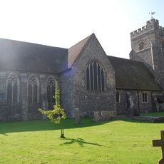
Church of St Mary, Chartham
4.5 km
Larkey Valley Wood
4.1 km
Yockletts Bank
3.6 km
Down Bank
4.8 km
Church of St Mary
4.3 km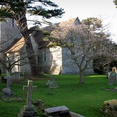
Church of St Peter and St Paul
2.3 km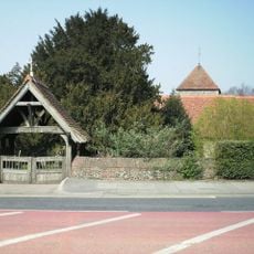
Church of St Nicholas
5.5 km
Church of St Mary
5.9 km
The Artichoke Inn
4.2 km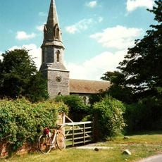
Church of St Mary
2.9 km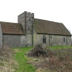
Church of St Bartholomew
3.3 km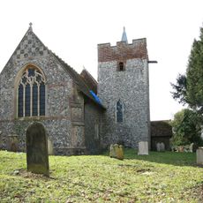
Church of St Mary
5.2 km
Church of St Mary
2.9 km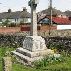
Chartham War Memorial
4.5 km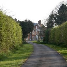
Mystole House South Mystole West Wing
4.3 km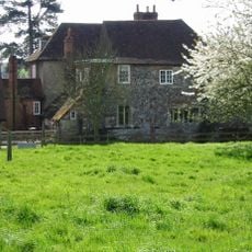
Tonford Manor
5.8 km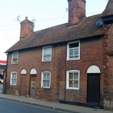
160-164, Wincheap
5.9 km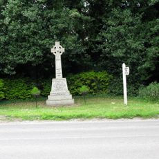
Nackington War Memorial
4.1 km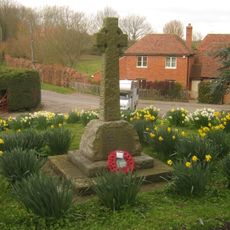
Lower Hardres War Memorial
2.7 km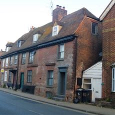
152-158, Wincheap
5.9 km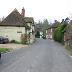
Old Hall
348 m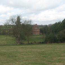
Bridge Place
5.7 km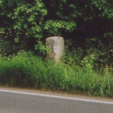
Milestone, Ashford Road, 250m E of jct with Station Road
4.6 km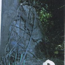
Milestone, Canterbury Road, N of Bowland Lane, opp. house entrance
5.5 kmReviews
Visited this place? Tap the stars to rate it and share your experience / photos with the community! Try now! You can cancel it anytime.
Discover hidden gems everywhere you go!
From secret cafés to breathtaking viewpoints, skip the crowded tourist spots and find places that match your style. Our app makes it easy with voice search, smart filtering, route optimization, and insider tips from travelers worldwide. Download now for the complete mobile experience.

A unique approach to discovering new places❞
— Le Figaro
All the places worth exploring❞
— France Info
A tailor-made excursion in just a few clicks❞
— 20 Minutes