
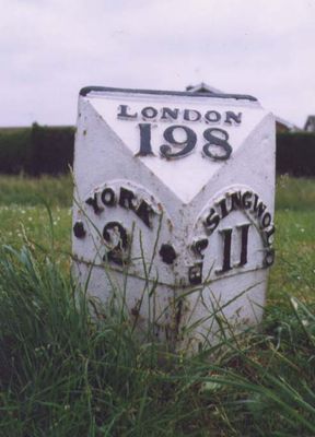
Milepost Approximately 250 Metres North West Of Blue Bridge
Milepost Approximately 250 Metres North West Of Blue Bridge, milestone in Rawcliffe, York, North Yorkshire, UK
Location: Rawcliffe
Inception: 19 century
GPS coordinates: 53.98225,-1.11712
Latest update: March 5, 2025 02:45
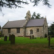
St Everilda's Church, Nether Poppleton
1.7 km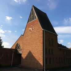
Church of the Holy Redeemer
1.9 km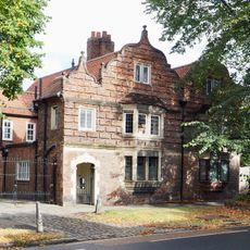
64 And 66, Clifton
2.2 km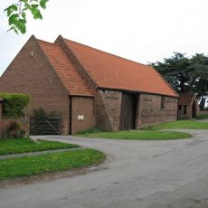
Nether Poppleton Tithebarn
1.7 km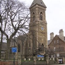
Church of St Philip and St James
1.8 km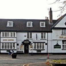
The Old Grey Mare Public House
2 km
16, Clifton Green
1.9 km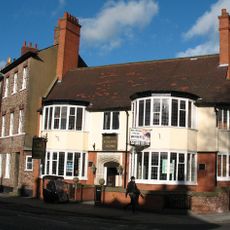
The Burton Stone Inn and attached front wall
2.3 km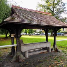
Horse drinking trough and canopy
1.9 km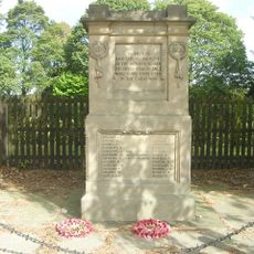
Leeman Road District First World War Memorial
2 km
34, Clifton
2.3 km
8, 10 and 12, Water End
1.8 km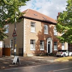
68 and 70, Clifton
2.2 km
Clifton Croft
1.9 km
50 Clifton (former Barclays Bank) and attached railings
2.2 km
The White House
1.8 km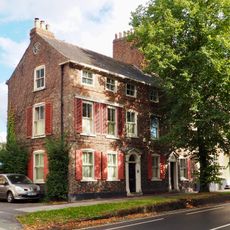
42 and 44, Clifton
2.3 km
Garden wall and gates approximately 25 metres south east of the John Burrill Homes
1.8 km
St Hildas Garth
2 km
Ellison Terrace
1.8 km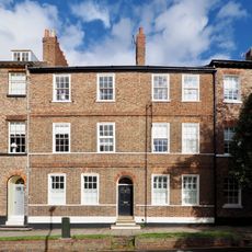
36, Clifton
2.3 km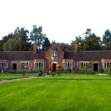
John Burrill Homes (NW block)
1.8 km
Music School of St Peter's School
2.3 km
134-140, Clifton Green
1.9 km
John Burrill Homes (NE block)
1.8 km
John Burrill Homes (SW block)
1.8 km
40, Clifton
2.3 km
Poppleton Road School
2.2 kmReviews
Visited this place? Tap the stars to rate it and share your experience / photos with the community! Try now! You can cancel it anytime.
Discover hidden gems everywhere you go!
From secret cafés to breathtaking viewpoints, skip the crowded tourist spots and find places that match your style. Our app makes it easy with voice search, smart filtering, route optimization, and insider tips from travelers worldwide. Download now for the complete mobile experience.

A unique approach to discovering new places❞
— Le Figaro
All the places worth exploring❞
— France Info
A tailor-made excursion in just a few clicks❞
— 20 Minutes