
St Andrew's Vicarage, clergy house in Islington, Greater London, UK
Location: London Borough of Islington
GPS coordinates: 51.54230,-0.11167
Latest update: April 23, 2025 15:17
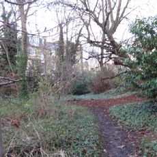
Barnsbury Wood
200 m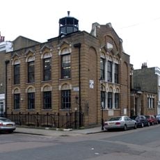
West Library
362 m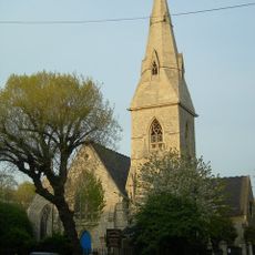
St Andrew's Church
282 m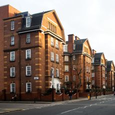
Samuel Lewis Buildings, Flats 301 To 345
411 m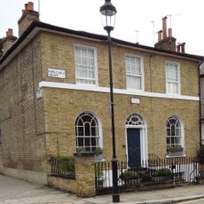
Grove Cottage
316 m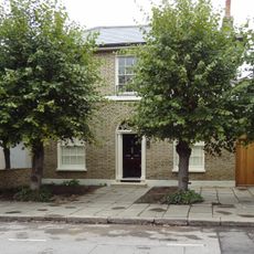
18, Ripplevale Grove
260 m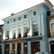
The Draper's Arms Public House
296 m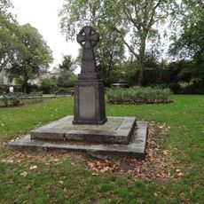
War Memorial at Thornhill Road Gardens
395 m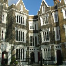
Numbers 1 To 24 And Attached Railings
399 m
Numbers 68 To 72 (Even) And Attached Railings And Garden Gate
417 m
20, Ripplevale Grove
255 m
11-17, Ripplevale Grove
291 m
Numbers 5-17 (Odd) And Attached Railings
298 m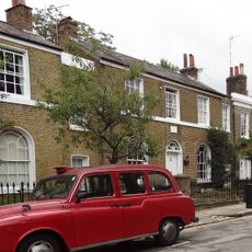
10-16, Ripplevale Grove
267 m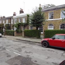
2-6, Ripplevale Grove
294 m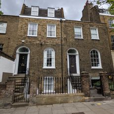
Numbers 291 And 293 And Attached Railings
365 m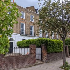
315-327, Liverpool Road
334 m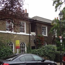
9, Ripplevale Grove
302 m
22 And 24, Ripplevale Grove
251 m
Number 3 And Attached Railings
317 m
Numbers 9, 10 And 11 And Attached Railings
350 m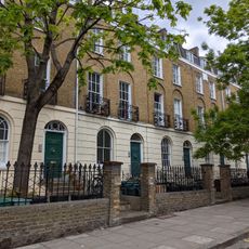
Numbers 295 To 305 (Odd) And Attached Railings
355 m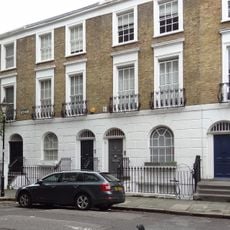
Numbers 73-95 (Odd) And Attached Railings
345 m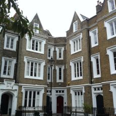
Numbers 25 To 48 (consecutive) And Attached Railings
361 m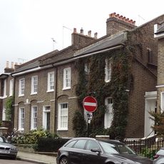
23-27, Ripplevale Grove
273 m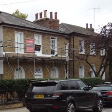
3-7, Ripplevale Grove
307 m
19 And 21, Ripplevale Grove
278 m
8, Ripplevale Grove
281 mReviews
Visited this place? Tap the stars to rate it and share your experience / photos with the community! Try now! You can cancel it anytime.
Discover hidden gems everywhere you go!
From secret cafés to breathtaking viewpoints, skip the crowded tourist spots and find places that match your style. Our app makes it easy with voice search, smart filtering, route optimization, and insider tips from travelers worldwide. Download now for the complete mobile experience.

A unique approach to discovering new places❞
— Le Figaro
All the places worth exploring❞
— France Info
A tailor-made excursion in just a few clicks❞
— 20 Minutes