
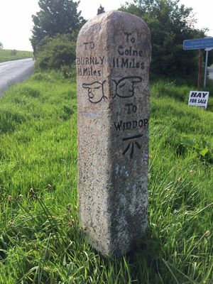
Guide Post In Fork Of Road Between Burnley Road And Widdop Road
Guide Post In Fork Of Road Between Burnley Road And Widdop Road, fingerpost in Heptonstall, Calderdale, West Yorkshire, UK
Location: Heptonstall
Inception: 18 century
GPS coordinates: 53.75429,-2.03169
Latest update: March 2, 2025 20:37
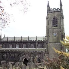
Parish Church of St Thomas, Heptonstall
913 m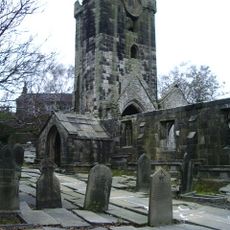
Parish Church of St Thomas A' Becket, Heptonstall
896 m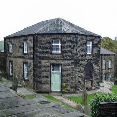
Wesleyan Methodist Chapel
911 m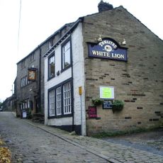
White Lion Public House
873 m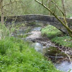
New Bridge
923 m
Cross Inn
911 m
Stoneshey Gate House
649 m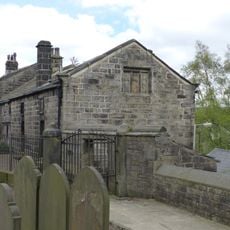
Walls, railings and gateway to Church of St Thomas a Becket
912 m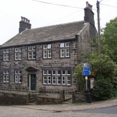
Longfield House including wall to north front with railings
975 m
Pinfold to north east of car park off Town Gate
953 m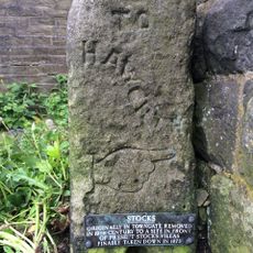
Single part of stocks 5 metres to east of Stocks Villas
888 m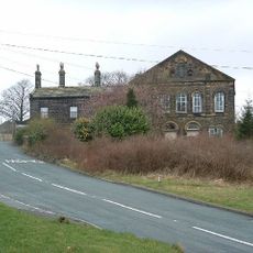
Former Baptist Chapel and attached manse
328 m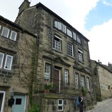
Flat 1 and Flat 2
905 m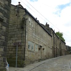
Cloth Hall
893 m
5 and 7, Northgate
907 m
Great Lear Ings
1 km
Chantry House
919 m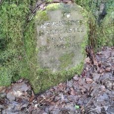
Guidestone, N of Hebden Bridge through Lee Wood
1 km
Whitehall Archway
890 m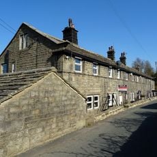
Cragg Side
820 m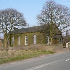
Former Sunday School to rear of Baptist School
357 m
Furley House
921 m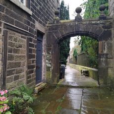
Gateway to churchyard attached to Number 41
901 m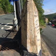
Guide Post At Junction With Northwell Lane
922 m
Litherstone
928 m
Gateway and stone steps and outbuilding attached to south west of Heptonstall Grammar School Museum
918 m
K6 Telephone Kiosk
954 m
Heptonstall Grammar School Museum
918 mReviews
Visited this place? Tap the stars to rate it and share your experience / photos with the community! Try now! You can cancel it anytime.
Discover hidden gems everywhere you go!
From secret cafés to breathtaking viewpoints, skip the crowded tourist spots and find places that match your style. Our app makes it easy with voice search, smart filtering, route optimization, and insider tips from travelers worldwide. Download now for the complete mobile experience.

A unique approach to discovering new places❞
— Le Figaro
All the places worth exploring❞
— France Info
A tailor-made excursion in just a few clicks❞
— 20 Minutes