
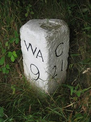
Milestone Circa 100 Metres South Of Junction With Track To Park Wall Farm, In Lay By
Milestone Circa 100 Metres South Of Junction With Track To Park Wall Farm, In Lay By, milestone in Wolsingham, County Durham, UK
Location: Wolsingham
Inception: 19 century
GPS coordinates: 54.73529,-1.79915
Latest update: March 5, 2025 22:39
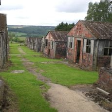
Harperley POW Camp 93
2.4 km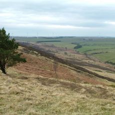
Hedleyhope Fell
5.3 km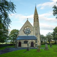
Church of St Philip and St James
1.3 km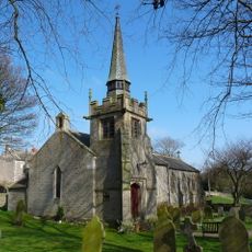
Church of St Bartholomew
1.6 km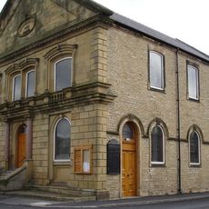
Central Methodist Church
4.3 km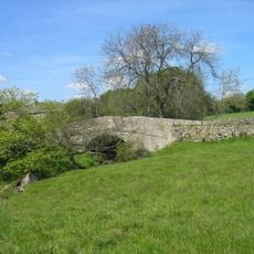
Bradley Burn Bridge
2.9 km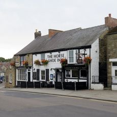
The Horse Shoe Inn
4.3 km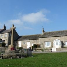
Thornley War Memorial
1.7 km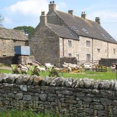
Low Harperley Farmhouse
3.1 km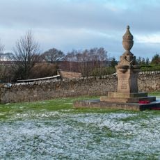
Fir Tree War Memorial Drinking Fountain
3.4 km
Old Park Farmhouse And Well House Attached
2.3 km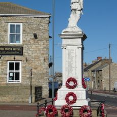
War Memorial
1.2 km
Billy Row War Memorial
3.1 km
Holy Well West Of Holywell Farmhouse
5.4 km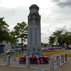
War Memorial, Piers and Chain
4.1 km
Little Redgate Farmhouse
4.7 km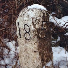
Milestone About 70 Metres South Of Junction With Pan Lane
5.3 km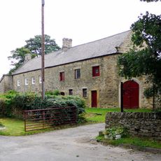
Holywell Farmhouse, Byre And Carthouse
5.3 km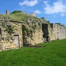
Bradley Hall fortified house and underground passages, moated site, pillow mound and fishponds
2.7 km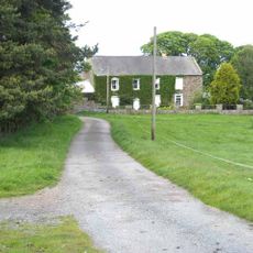
Castle Hill Farmhouse
4.1 km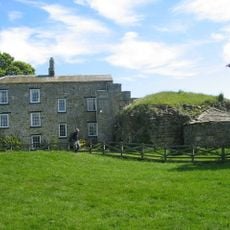
Bradley Hall Farmhouse
2.7 km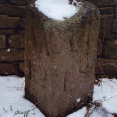
Milestone Circa 110 Metres South Of Greenfield Cottages
4.5 km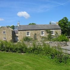
Bradley Burn Farmhouse
2.9 km
Hedleyhill Colliery coke works, 500m south west of Hazlet House
4.5 km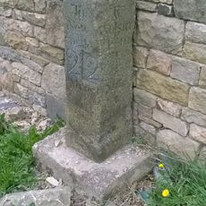
Milestone, Redgate, N end of stone cottage wall
4.7 km
Fir Tree
4.1 km
Harperley Hall
2.8 km
Helme Park, Fir Tree
1.3 kmReviews
Visited this place? Tap the stars to rate it and share your experience / photos with the community! Try now! You can cancel it anytime.
Discover hidden gems everywhere you go!
From secret cafés to breathtaking viewpoints, skip the crowded tourist spots and find places that match your style. Our app makes it easy with voice search, smart filtering, route optimization, and insider tips from travelers worldwide. Download now for the complete mobile experience.

A unique approach to discovering new places❞
— Le Figaro
All the places worth exploring❞
— France Info
A tailor-made excursion in just a few clicks❞
— 20 Minutes