Chart Cottage East, cottage in Reigate and Banstead, Surrey, UK
Location: Reigate and Banstead
GPS coordinates: 51.23573,-0.15677
Latest update: November 19, 2025 13:54
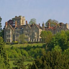
Nutfield Priory
1 km
Harlequin Theatre
965 m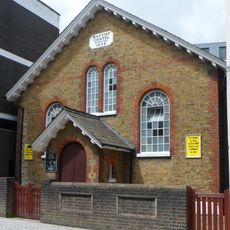
Baptist Chapel
1 km
White Lion Public House
1.3 km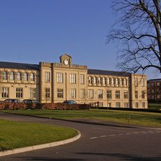
Workshop At Royal Earlswood Hospital
1.5 km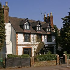
Old Garlands
1.2 km
The Firs
1.2 km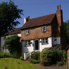
73 And 73A, Linkfield Street
1.4 km
36-40, Linkfield Lane
1.5 km
Two Lodges To Royal Earlswood Hospital
1.5 km
10, Whitepost Hill
1.4 km
Chilmead Farmhouse
1.5 km
16, Linkfield Lane
1.5 km
10, Hooley Lane
1 km
Former Royal Philanthropic Society Office Former Royal Philanthropic Society Office, Royal Philanthropic Society School Royal Philanthropic Society School
628 m
Fengates House
1.4 km
Chart Lodge
30 m
St Bedes Main School Building, Including Attached Railings, Gatepiers And Gates
1.3 km
St John's Lodge
1.5 km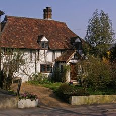
The Old Cottage
1.2 km
Belmont Claremont
1.4 km
St Bedes School Annexe
1.3 km
Copyhold Cottages
621 m
Rio Cinema
899 m
War Memorial, Church of St John, Redhill
1.5 km
48, Common Road
1.6 km
Scenic viewpoint
1.4 km
Scenic viewpoint
1.4 kmReviews
Visited this place? Tap the stars to rate it and share your experience / photos with the community! Try now! You can cancel it anytime.
Discover hidden gems everywhere you go!
From secret cafés to breathtaking viewpoints, skip the crowded tourist spots and find places that match your style. Our app makes it easy with voice search, smart filtering, route optimization, and insider tips from travelers worldwide. Download now for the complete mobile experience.

A unique approach to discovering new places❞
— Le Figaro
All the places worth exploring❞
— France Info
A tailor-made excursion in just a few clicks❞
— 20 Minutes