
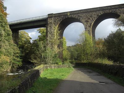
Goytcliffe Viaduct, Grade II listed railway viaduct near Strines, Stockport, Greater Manchester, UK
Location: Stockport
Inception: 1865
Height: 30 m
GPS coordinates: 53.38556,-2.04882
Latest update: March 25, 2025 21:33

All Saints Church, Marple
766 m
Roman Lakes Leisure Park
228 m
Number 2 (Church Lane Bridge) on Macclesfield Canal
1.1 km
Roman Bridge
342 m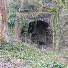
Bottoms Bridge
819 m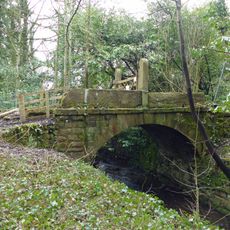
Bridge over mill stream immediately east of Bottoms Bridge
812 m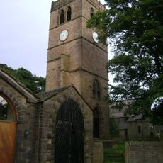
Remains of Church of All Saints
810 m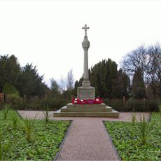
Mellor War Memorial
1 km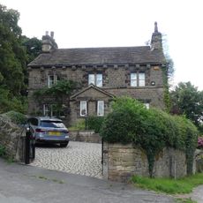
Rose Lea
704 m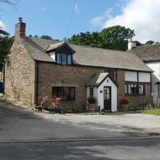
Spout House
667 m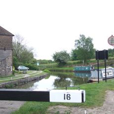
Marple Locks Number 16 and adjoining footbridge on Peak Forest Canal
1.1 km
5 and 7, Lime Kiln Lane
1.1 km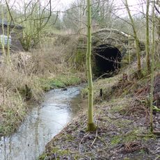
Culvert 10 metres to north of Bottoms Hall
608 m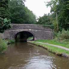
Routing Walls Bridge on Peak Forest Canal
749 m
Marple Locks Number 15 and adjoining footbridge on Peak Forest Canal
1.2 km
Lumm House
432 m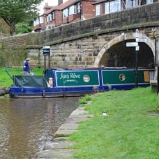
Number 1 (Junction Bridge) On Macclesfield Canal
1 km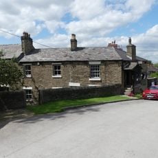
Toll House opposite Top Lock
1.1 km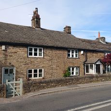
Oldstones
1.1 km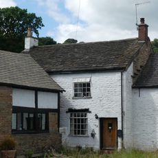
Spout House Farm
664 m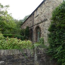
Lime Kiln Farm
1 km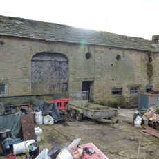
Outbuildings immediately south east of Old Hall Farmhouse
565 m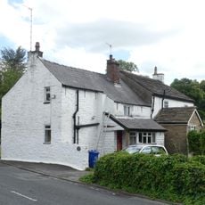
160, Strines Road
652 m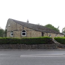
32, Strines Road
994 m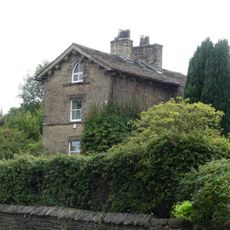
Bleak House
885 m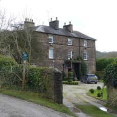
Old Hall/Old Hall Farmhouse
576 m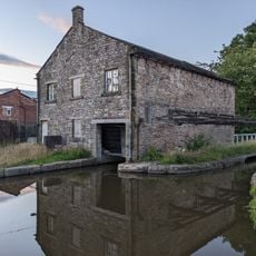
Canal warehouse adjacent to Bridge Number 1 (Junction Bridge), on Macclesfield Canal
1.1 km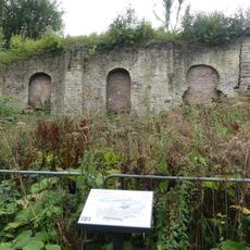
Oldknow's limekilns, Strines Road
967 mReviews
Visited this place? Tap the stars to rate it and share your experience / photos with the community! Try now! You can cancel it anytime.
Discover hidden gems everywhere you go!
From secret cafés to breathtaking viewpoints, skip the crowded tourist spots and find places that match your style. Our app makes it easy with voice search, smart filtering, route optimization, and insider tips from travelers worldwide. Download now for the complete mobile experience.

A unique approach to discovering new places❞
— Le Figaro
All the places worth exploring❞
— France Info
A tailor-made excursion in just a few clicks❞
— 20 Minutes