Stockport

Log in to your account

AroundUs is a community-driven map of interesting places, built by curious explorers like you. It grows with every review, story, and photo you share.
Connect to save your favorite spots, contribute locations, and create personalized routes.
Continue with Google
Continue with Apple
Continue with X
Continue with Facebook
Continue with email
By continuing, you accept our Terms and Conditions and our Privacy Policy
Create an account
Add to collection
Map
Suggest a change
Share

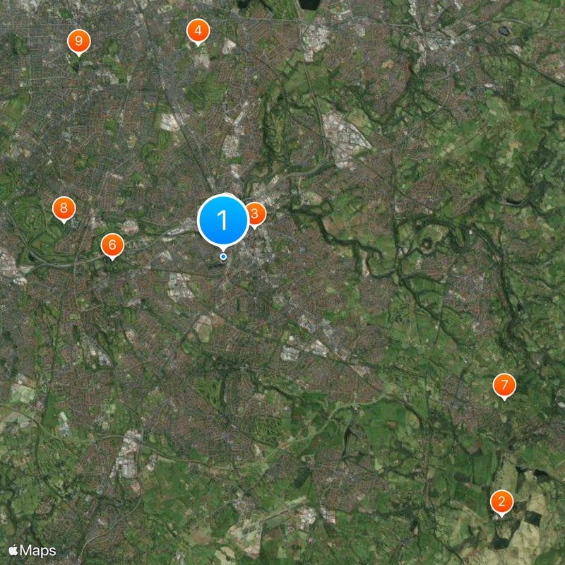
Stockport, Metropolitan borough in Greater Manchester, England

Stockport is a metropolitan borough in Greater Manchester that includes several towns such as Bredbury, Marple, Hazel Grove, Bramhall, Cheadle, and Romiley. These communities form a substantial region organized into electoral wards that provide local governance and services.

The modern borough came into existence in 1974 following major local government reorganization, when the former County Borough of Stockport merged with urban districts that had previously been part of Cheshire. This restructuring established the current geographical and administrative boundaries.

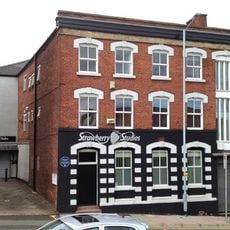
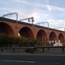
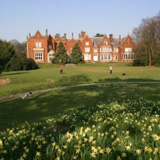
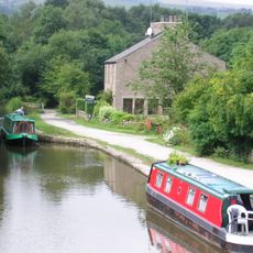
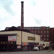
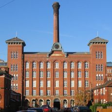
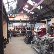
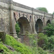
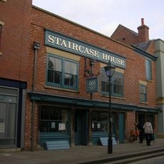
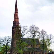
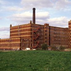
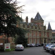
The borough holds historic buildings and structures scattered throughout its towns, shaping how residents and visitors experience the area today. Walking through neighborhoods, you encounter Victorian red brick and older stone structures that have become familiar landmarks for locals.

The area is well-connected by public transport, with bus services and train stations serving different parts of the borough. Most neighborhoods are relatively flat terrain, making it easy to walk or cycle between towns and attractions.

Before the borough was officially named in 1974, planners considered calling it Norchester, but officials voted in favor of Stockport instead. Few visitors know about this near-alternative name that could have shaped the region's identity.

Location: Greater Manchester

Inception: April 1, 1974

Capital city: Stockport

Elevation above the sea: 78 m

Shares border with: Manchester, Tameside, Cheshire East, High Peak, Mottram St Andrew, Lyme Handley, Disley (civil parish)

Website: http://stockport.gov.uk

GPS coordinates: 53.40000,-2.16667

Latest update: December 20, 2025 00:21

Photos
Reviews

Visited this place? Tap the stars to rate it and share your experience / photos with the community! Try now! You can cancel it anytime.

« Stockport - Metropolitan borough in Greater Manchester, England » is provided by Around Us (aroundus.com). Images and texts are derived from Wikimedia project under a Creative Commons license. You are allowed to copy, distribute, and modify copies of this page, under the conditions set by the license, as long as this note is clearly visible.

Discover hidden gems everywhere you go!

From secret cafés to breathtaking viewpoints, skip the crowded tourist spots and find places that match your style. Our app makes it easy with voice search, smart filtering, route optimization, and insider tips from travelers worldwide. Download now for the complete mobile experience.

Around Us App Screenshot

A unique approach to discovering new places

Le Figaro

All the places worth exploring

France Info

A tailor-made excursion in just a few clicks

20 Minutes