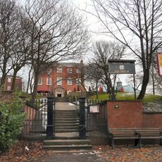
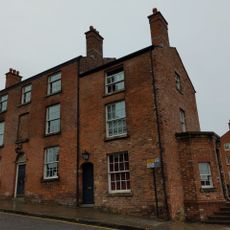
Stockport Castle, Medieval castle ruins in Stockport, England
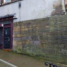
Stockport Castle comprises the remains of a medieval fortification built on a sandstone ridge overlooking the River Mersey, with surviving earthwork defenses and scattered stone fragments. The central mound and lower section to the southeast display the characteristic two-part layout of Norman-era military sites.
The castle appears in written records from 1173 and saw conflict during the rebellion against King Henry II when held by Geoffrey de Costentyn. The site lost military importance after the medieval period and was eventually overtaken by industrial development.
The site displays the characteristic Norman motte-and-bailey design that became common across England after 1066, reflecting military needs of the period. Visitors can see how such fortifications shaped local settlement patterns and defense strategies of medieval communities.
The ruins are accessible near Castle Yard and display clearly visible earthwork structures along with traces of medieval fortifications. Visitors should expect uneven ground and wear sturdy footwear, as the archaeological site consists of natural landscape features with historical remains.
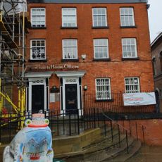
Much of the ruins were demolished in 1775 to make way for a cotton mill, marking a symbolic shift from medieval defense to industrial production. This transformation illustrates how industrial expansion reshaped historic landscapes.
The community of curious travelers
AroundUs brings together thousands of curated places, local tips, and hidden gems, enriched daily by 60,000 contributors worldwide.