Marple Aqueduct, Navigable aqueduct in Marple, England
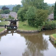
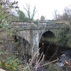
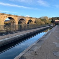
Marple Aqueduct is a three-arch sandstone aqueduct that carries the Peak Forest Canal over the River Goyt valley in Stockport, England. The structure holds a working water channel at a height that places boats well above the river flowing through the wooded valley below.
Work on the aqueduct started in 1795 under engineer Benjamin Outram and finished in 1800, at a time when canal transport was the backbone of industrial supply across northern England. It has since been listed as a scheduled monument and a Grade I listed building, recognizing its place in engineering history.
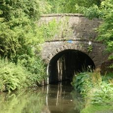
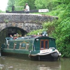
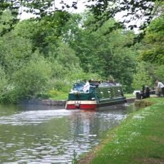
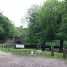
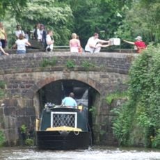
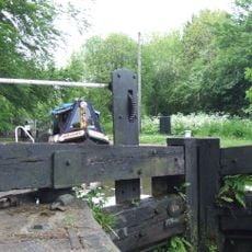
The towpath that runs across Marple Aqueduct is used daily by walkers and cyclists following the Peak Forest Canal route. Narrowboats still pass through the channel above the valley, making it easy to picture how this route once kept nearby towns supplied with coal and raw materials.
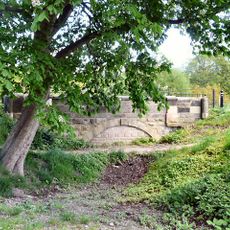
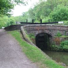
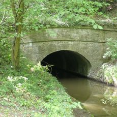
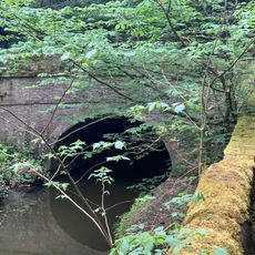
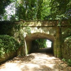
The clearest view of the aqueduct's arches comes from the valley floor below, where footpaths lead close to the structure from either side. Walking across the top along the towpath is also possible and gives a very different sense of the crossing.
From below, the aqueduct looks entirely solid, with no visible sign of the water or the boats passing overhead. The canal is enclosed in a stone trough that sits on top of the arches, so the water remains hidden until you climb up to the towpath level.
The community of curious travelers
AroundUs brings together thousands of curated places, local tips, and hidden gems, enriched daily by 60,000 contributors worldwide.