
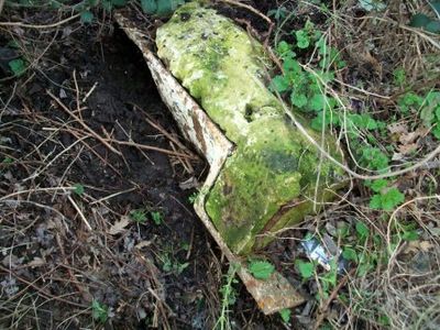
Milestone At St 992622 About 100 Metres North West Of Oxhouse Farmhouse
Milestone At St 992622 About 100 Metres North West Of Oxhouse Farmhouse, milestone in Rowde, Wiltshire, UK
Location: Rowde
Inception: 19 century
GPS coordinates: 51.35892,-2.01416
Latest update: March 4, 2025 21:01
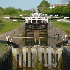
Caen Hill Locks
1.1 km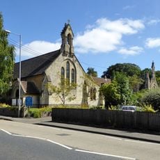
St Peter's Church, Devizes
796 m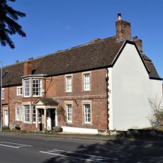
The Queen's Head Inn
409 m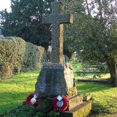
Rowde War Memorial Cross
1.3 km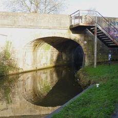
The Town Bridge
1 km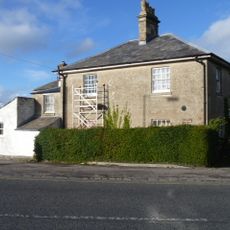
Bridge House Durleston
699 m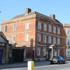
Northgate House (formerly Judge's Lodging Now The Municipal Offices)
1.2 km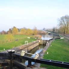
Caen Hill locks
1.1 km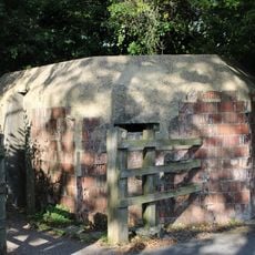
Pill Box, By The Kennet And Avon Canal
1.3 km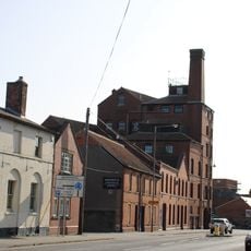
Wadworths Brewery
1.2 km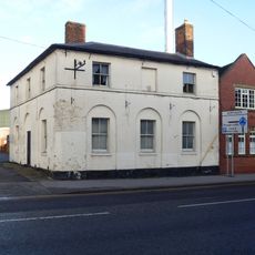
The White Lion Public House
1.2 km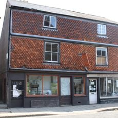
54 And 55, Northgate Street
1.3 km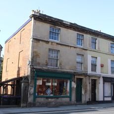
19 And 20, Northgate Street
1.2 km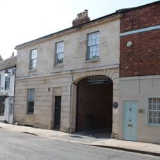
11-13, Northgate Street
1.3 km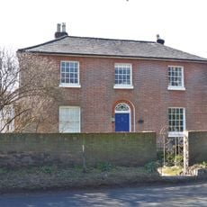
Newton House
1 km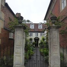
16, Market Place
1.4 km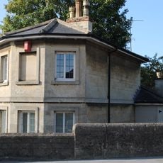
Besborough Lodge
1.1 km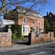
Dunkirk House
499 m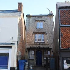
Literary And Scientific Institute
1.3 km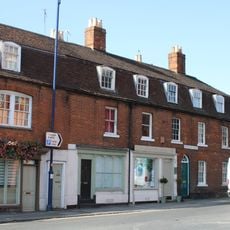
14-18, Northgate Street
1.3 km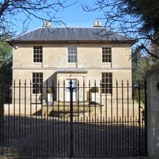
Rowde House
1.2 km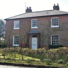
Blaxhall House
1.1 km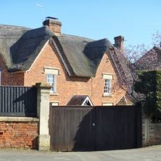
Linfurlong
1.2 km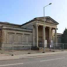
Law Courts And County Police Office
1.2 km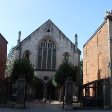
Forecourt Piers To St Mary's Congregational Church
1.2 km
Sandcliffe
1.2 km
Hillside
507 m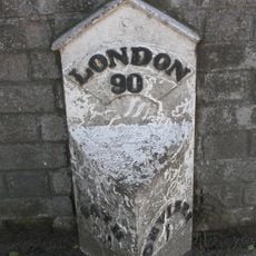
Milepost, Bath Road, by "Fairmile", W of Dunkirk Hill
862 mVisited this place? Tap the stars to rate it and share your experience / photos with the community! Try now! You can cancel it anytime.
Discover hidden gems everywhere you go!
From secret cafés to breathtaking viewpoints, skip the crowded tourist spots and find places that match your style. Our app makes it easy with voice search, smart filtering, route optimization, and insider tips from travelers worldwide. Download now for the complete mobile experience.

A unique approach to discovering new places❞
— Le Figaro
All the places worth exploring❞
— France Info
A tailor-made excursion in just a few clicks❞
— 20 Minutes