
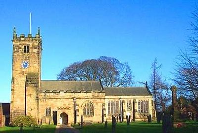
Church of All Hallows, church building in Sutton-on-the-Forest, Hambleton, North Yorkshire, UK
Location: Sutton-on-the-Forest
GPS coordinates: 54.07515,-1.11056
Latest update: April 3, 2025 09:38
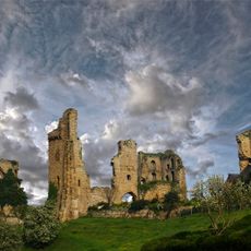
Sheriff Hutton Castle
7 km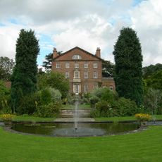
Sutton Park
162 m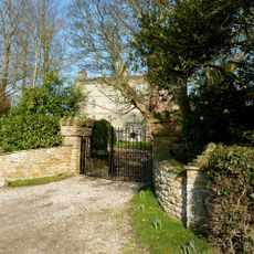
Crayke Castle
6.5 km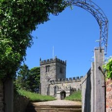
St Cuthbert's Church, Crayke
6.4 km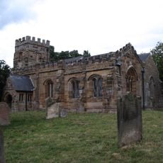
St Martin's Church, Whenby
7 km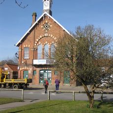
Easingwold Town Hall
7.4 km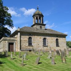
Church of All Saints
7.4 km
Church of St Mary
4 km
Holy Evangelists Church
6.5 km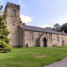
Church of St Nicholas
3.1 km
Church of St Leonard
4.2 km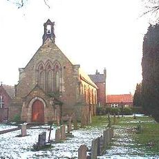
Church of St John the Evangelist (Roman Catholic)
7.2 km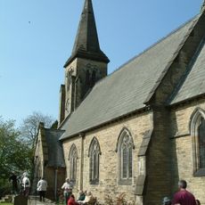
Church of St Mary
6.1 km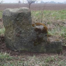
Milestone, N of Sutton on the Forest
957 m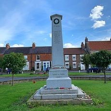
Easingwold War Memorial
7.5 km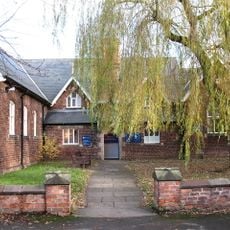
Easingwold Library
7.4 km
Pair Of Gates To Number 47 (The Villa)
7.4 km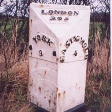
Milestone To North Of Warehill Lane At Ngr 527 636
5.3 km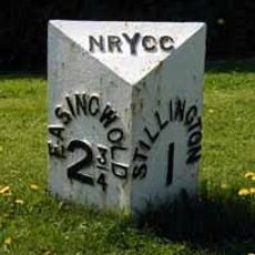
Milepost At Ngr 567682
3.8 km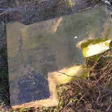
Milepost Approximately 170 Metres To South Of Grange Farmhouse
3 km
Milestone At 528667
5.9 km
Mile Post Approximately 100 Metres South Of Walter End Farm
6.6 km
Milepost Approximately 12 Metres To South Of Junction With Sandhole Lane
7.2 km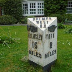
Milepost In Front Of Laughton House
112 m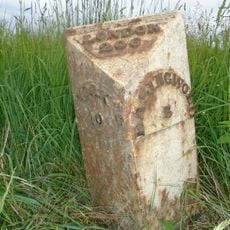
Milestone To North Of Cross Lanes At Ngr 529 651
5.5 km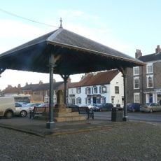
Market Cross And Market House
7.4 km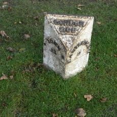
Milestone Outside Number 104
7.3 km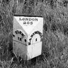
Milestone Between Crankley Lane And Woodbine Farm
6.6 kmVisited this place? Tap the stars to rate it and share your experience / photos with the community! Try now! You can cancel it anytime.
Discover hidden gems everywhere you go!
From secret cafés to breathtaking viewpoints, skip the crowded tourist spots and find places that match your style. Our app makes it easy with voice search, smart filtering, route optimization, and insider tips from travelers worldwide. Download now for the complete mobile experience.

A unique approach to discovering new places❞
— Le Figaro
All the places worth exploring❞
— France Info
A tailor-made excursion in just a few clicks❞
— 20 Minutes