
The Manor House, house in Sundridge with Ide Hill, Sevenoaks, Kent, UK
Location: Sundridge with Ide Hill
GPS coordinates: 51.27676,0.12728
Latest update: April 16, 2025 14:17
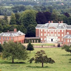
Chevening
2.5 km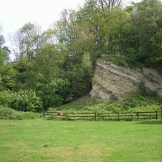
Dryhill Nature Reserve
1.5 km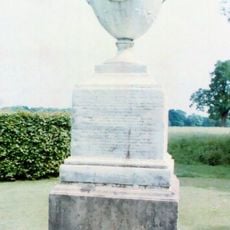
Chatham Vase
2.2 km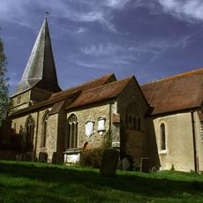
Church of St Mary
306 m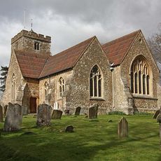
Church of St Martin
1.6 km
18-22, Church Road
88 m
Combe Bank
688 m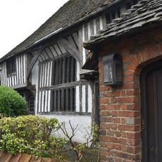
The Old Hall
462 m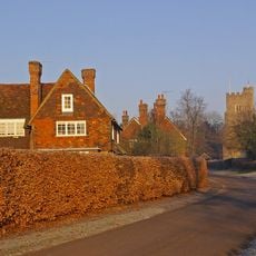
1, Chevening Road
2.4 km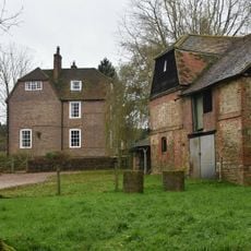
Brook Place Farmhouse
2.4 km
Kent Cottage Premises Occupied By Kw Baker Premises Occupied By L Muir Premises Occupied By Mary And Patrick Antiques Premises Occupied By Pj Donoghue
1.3 km
Lennard Lodge
2.5 km
East Side Of Bridge Over River Darenth
1.8 km
Little Norman Street Farmhouse
2.4 km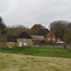
Sundridge Place
400 m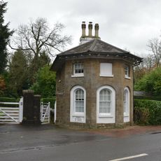
Combe Bank Lodge
960 m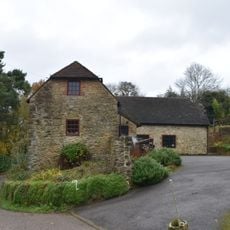
Outbuilding To North East Of Dryhill Farmhouse
1.2 km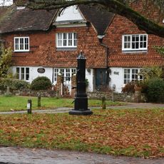
Pump In Middle Of Village Green
1.1 km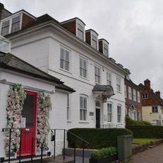
The White House
1.1 km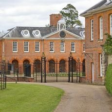
Wrought Iron Screen And Gates To North Of Entrance Courtyard Of Chevening House
2.5 km
Dryhill Farmhouse
1.2 km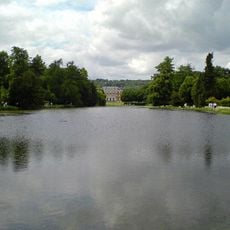
The Chatham Vase On East Side Of Lake Near Its South End
2.2 km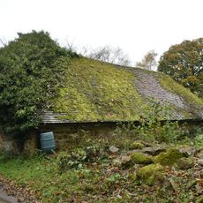
Small Barn To South East Of Dryhill Farmhouse
1.2 km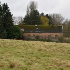
Large Barn To South East Of Sundridge Place With Outbuildings Adjoining
436 m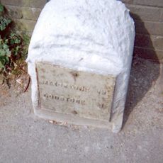
Milestone, Main Road, by No. 134, "Milestone", W of Social Club
261 m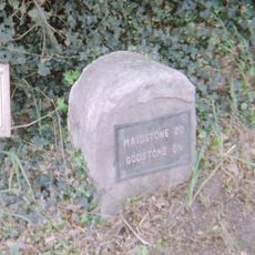
Milestone, Westerham Road, by Heverswood Lodge, W edge of village
1.8 km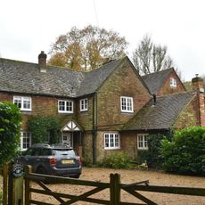
Dry Hill Cottage The Old Cottage
1.1 km
White Hart Cottages
1 kmReviews
Visited this place? Tap the stars to rate it and share your experience / photos with the community! Try now! You can cancel it anytime.
Discover hidden gems everywhere you go!
From secret cafés to breathtaking viewpoints, skip the crowded tourist spots and find places that match your style. Our app makes it easy with voice search, smart filtering, route optimization, and insider tips from travelers worldwide. Download now for the complete mobile experience.

A unique approach to discovering new places❞
— Le Figaro
All the places worth exploring❞
— France Info
A tailor-made excursion in just a few clicks❞
— 20 Minutes