
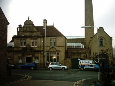
Bramley Baths, public bath in Leeds, West Yorkshire, UK
Location: Leeds
Website: https://bramleybaths.com
GPS coordinates: 53.81426,-1.63886
Latest update: March 6, 2025 18:26
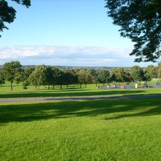
Bramley Park
291 m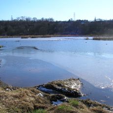
Rodley Nature Reserve
984 m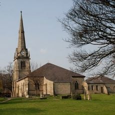
Church of St Peter
731 m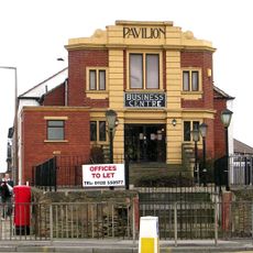
Pavilion Cinema, Stanningley
1.1 km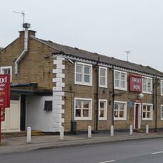
Barley Mow Public House
1.2 km
Bramley Library
718 m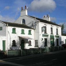
Rock Inn And Former Stables
492 m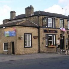
Acorn Inn
678 m
359-367, Upper Town Street
243 m
257, Upper Town Street
600 m
Whitecote House
897 m
Bramley Villagers Community Club
590 m
Revetment Wall To Whitecote House With Railings And Gate To Canal
899 m
428 And 430, Broad Lane
90 m
327 And 329, Upper Town Street
363 m
Gate Piers, Gate, Wall And Railings To North Of Hough Lane Centre
712 m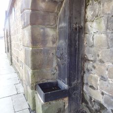
Stocks Hill Pump
868 m
112, Lower Town Street
992 m
259, Upper Town Street
564 m
Hough Lane Centre
746 m
261, Upper Town Street
568 m
Warrels House
512 m
2-14, Moorfields
356 m
Number 331 And Attached Wall
321 m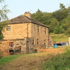
Stables Approximately 10 Metres South East Of Whitecote House
858 m
2-18, Haleys Yard
311 m
34 And 36, Rock Lane
377 m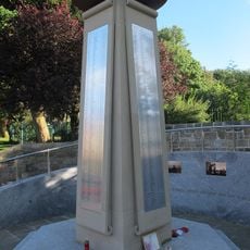
Bramley War Memorial
352 mReviews
Visited this place? Tap the stars to rate it and share your experience / photos with the community! Try now! You can cancel it anytime.
Discover hidden gems everywhere you go!
From secret cafés to breathtaking viewpoints, skip the crowded tourist spots and find places that match your style. Our app makes it easy with voice search, smart filtering, route optimization, and insider tips from travelers worldwide. Download now for the complete mobile experience.

A unique approach to discovering new places❞
— Le Figaro
All the places worth exploring❞
— France Info
A tailor-made excursion in just a few clicks❞
— 20 Minutes