
Boundary Mark On Canal Towpath To South Of Castle Lock
Boundary Mark On Canal Towpath To South Of Castle Lock, boundary marker in City of Nottingham, Nottinghamshire, UK
Location: City of Nottingham
Part of: political border
GPS coordinates: 52.94782,-1.15202
Latest update: March 3, 2025 03:12

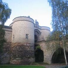
Nottingham Castle
235 m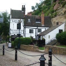
Ye Olde Trip To Jerusalem
170 m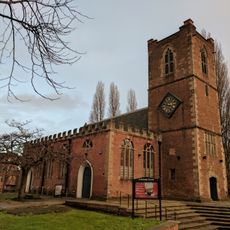
St Nicholas' Church, Nottingham
301 m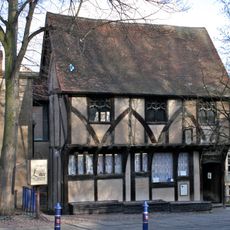
Severn's Building
297 m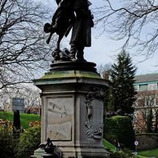
Statue of Captain Albert Ball
270 m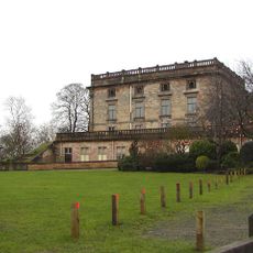
Nottingham Castle Museum and Art Gallery
239 m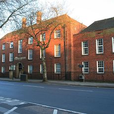
Nottingham Labour Exchange
77 m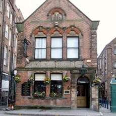
Fellows, Morton And Clayton Public House
257 m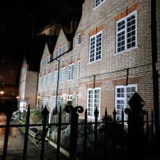
Brewhouse Yard Museum And Associated Caves
171 m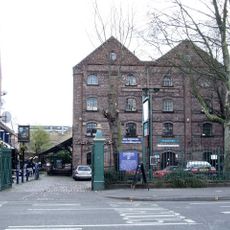
Canal House
236 m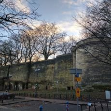
Nottingham Castle Outer Bailey Wall And Towers
190 m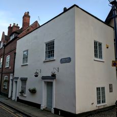
57-59, Castle Gate
305 m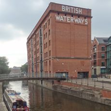
British Waterways Warehouse
114 m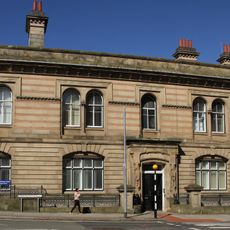
50 Carrington Street
295 m
55, Castle Gate
305 m
Castle Court
144 m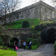
Nottingham Castle Middle Bridge Adjoining Archway And Porter's Lodge
276 m
Gateway And Railings To Canal Museum
251 m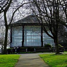
Bandstand And Railings 60 Metres North East Of The Castle Museum
227 m
Nottingham Corporation Waterworks And Attached Area Railings
115 m
53, Castle Gate
306 m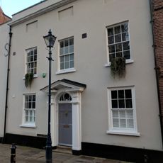
51, Castle Gate
306 m
New Castle House
79 m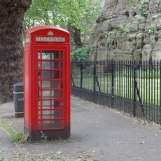
K6 Telephone Kiosk Opposite Newcastle House
137 m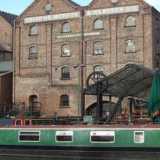
Two Wharf Cranes At Canal Museum
254 m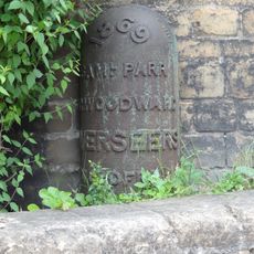
Boundary Mark At South East Corner Of Bailey Wall
191 m
Richmond House
179 m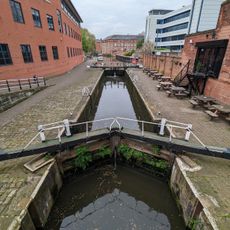
Castle Lock
16 mReviews
Visited this place? Tap the stars to rate it and share your experience / photos with the community! Try now! You can cancel it anytime.
Discover hidden gems everywhere you go!
From secret cafés to breathtaking viewpoints, skip the crowded tourist spots and find places that match your style. Our app makes it easy with voice search, smart filtering, route optimization, and insider tips from travelers worldwide. Download now for the complete mobile experience.

A unique approach to discovering new places❞
— Le Figaro
All the places worth exploring❞
— France Info
A tailor-made excursion in just a few clicks❞
— 20 Minutes